UN/LOCODE hub · Philippines
PHBCT

Isabela, Basilan

6.7000°, 121.9667°
2
Transport functions

Transport Functions

Port
Road
Isabela, Basilan is also a profiled seaport →
UN/LOCODE

Hub Profile

Region
BAS
GeoNames

Location

Location of PHBCT
Natural Earth 10m (public domain) · BAS · PHBCT · 6.70, 121.97GoogleOSMYandex

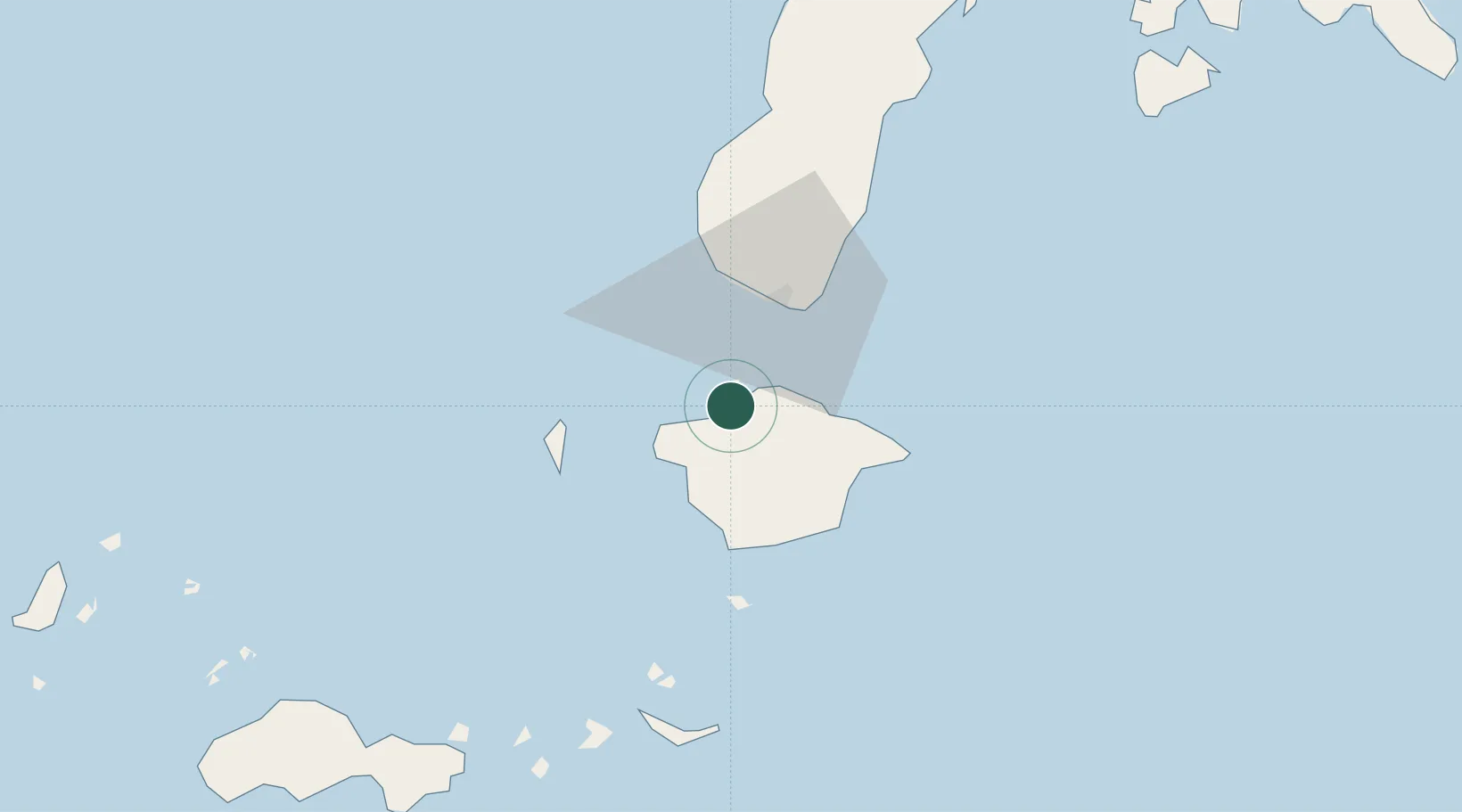
Nearby Logistics Neighbours

Cities
  1. 1Maluso, Basilan22 km
  2. 2Zamboanga26 km
  3. 3Vitali/Zamboanga82 km
  4. 4Busan Bay112 km
  5. 5Kabasalan/Zamboanga148 km
Nearest neighbours — logibook spatial index (haversine) over the source coordinates
Ports
  1. 1Port Holland20 km
  2. 2Zamboanga25 km
  3. 3Jolo129 km
  4. 4Siasi180 km
  5. 5Pagadian205 km
Nearest neighbours — logibook spatial index (haversine) over the source coordinates
Airports
  1. 1Zamboanga International Airport27 km
  2. 2Jolo Airport128 km
  3. 3Pagadian Airport207 km
  4. 4Cotabato (Awang) Airport253 km
  5. 5Dipolog Airport260 km
Nearest neighbours — logibook spatial index (haversine) over the source coordinates
Trade Zones
  1. 1Zamboanga City Special Economic Zone35 km
  2. 2Irasan-Roxas Zanorte Special Economic Zone245 km
  3. 3Misamis Occidental-Oroquieta City Economic Zone278 km
  4. 4Valencia Special Economic Zone317 km
  5. 5Spanish Heritage IT Center324 km
Nearest neighbours — logibook spatial index (haversine) over the source coordinates
DatabookThe Record of Consolidated Knowledge
Philippines beyond logistics?
Browse databook

All Sources

LocationsUN/LOCODE
UN/LOCODE — free
Portsthe NGA World Port Index
Public domain (US gov)
AirportsOurAirports
Public domain
Trade Zonesthe World Bank SEZ database
CC BY 4.0
Trade ZonesOpen Zone Map
CC BY
← Philippines locations