Seaport · Philippines
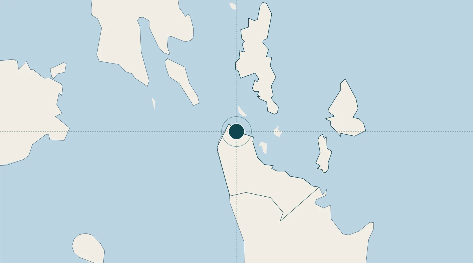
Surigao CityPHSUG
9.7833°, 125.5000°
23.2 m
Channel depth
8.8
Port liner connectivity
Channel & Berth Profile
Pilotage, Tugs & Services
Pilotage compulsoryYES
Pilotage availableYES
Pilotage advisableYES
Tug assistanceYES
Potable waterYES
MedicalYES
Facilities & Capabilities
Container—
Ro-Ro—
Liquid bulk—
Dry bulk—
Oil terminal—
Break bulk—
Dry dock—
Repairs—
BunkeringYES
Rail link—
Dangerous cargo—
ISPS security—
Harbour Specifications
Harbour size
Very Small
Harbour type
Open Roadstead
Shelter
Good
Water body
Bohol Sea; Philippine inland seas; North Pacific Ocean
Tidal range
3 m
Overhead limit
Yes
Pilotage
Yes
Liner Connectivity
8.8
PLSCI
Port Liner Shipping Connectivity Index for Surigao City, as published by UNCTAD for the latest available quarter. Higher values indicate stronger scheduled liner-shipping integration.
Shown relative to the highest per-port PLSCI in the dataset (1,657.9).
Location
Nearby Logistics Neighbours
Ports
- 1Maasin83 km
- 2Masao88 km
- 3Nasipit Port91 km
- 4Butuan City93 km
- 5Gingoog114 km
Cities
- 1Cagdianao24 km
- 2Gigaquit, Mindanao30 km
- 3Taganito43 km
- 4Hilongos105 km
- 5Homonhon110 km
Airports
- 1Surigao Airport4 km
- 2Siargao Airport57 km
- 3Bancasi Airport93 km
- 4Camiguin Airport105 km
- 5Tandag Airport108 km
Trade Zones
DatabookThe Record of Consolidated Knowledge
Philippines beyond logistics?