Medium airport · Philippines
Bancasi AirportRPME
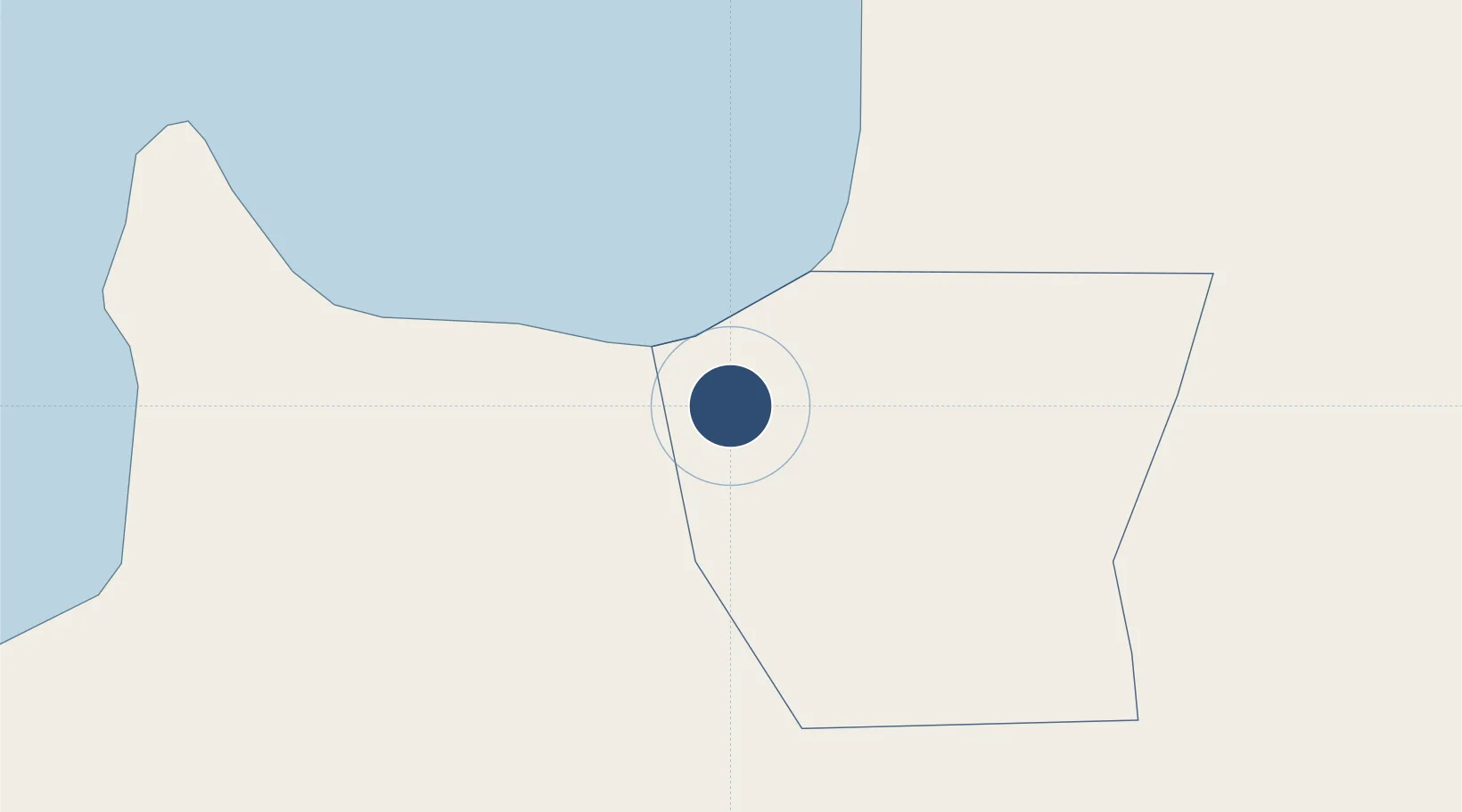
8.9515°, 125.4788°
6,877 ft
Longest runway
1
Runways
141 ft
Elevation
Runway & Layout

Radio Frequencies
TWR
123.2 MHz
Navaids
BN VOR-DME Butuan 112.50 MHz
Runways · 1
| Runway | Dimensions | Surface | True heading | Lit |
|---|---|---|---|---|
| 12/30 | 6,877 × 148ft | Concrete | 117° | ✓ |
Airport Specifications
IATA code
BXU
ICAO code
RPME
Airport class
Medium airport
Scheduled service
Yes
Runway surface
Concrete
Served city
Butuan
Location
Nearby Logistics Neighbours
Airports
- 1Tandag Airport77 km
- 2Surigao Airport89 km
- 3Camiguin Airport91 km
- 4Siargao Airport117 km
- 5Laguindingan International Airport119 km
Cities
- 1Lunao48 km
- 2Medina51 km
- 3Gigaquit, Mindanao74 km
- 4Taganito76 km
- 5Mabini, Mindanao76 km
Ports
- 1Butuan City6 km
- 2Masao9 km
- 3Nasipit Port16 km
- 4Gingoog44 km
- 5Villanueva88 km
DatabookThe Record of Consolidated Knowledge
Philippines beyond logistics?