Seaport · Philippines
Nasipit PortPHNAS
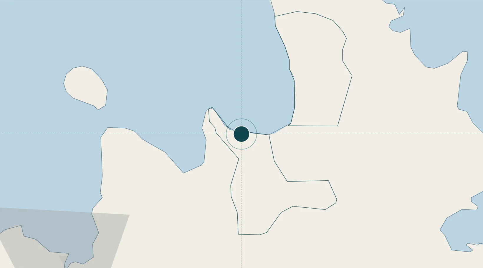
8.9833°, 125.3333°
6.4 m
Channel depth
8.8
Port liner connectivity
Channel & Berth Profile
Pilotage, Tugs & Services
Pilotage compulsoryYES
Pilotage availableYES
Pilotage advisableYES
Tug assistanceYES
Salvage tugsNO
Potable waterYES
Diesel bunkersYES
MedicalYES
Garbage disposalNO
Facilities & Capabilities
Container—
Ro-Ro—
Liquid bulk—
Dry bulk—
Oil terminal—
Break bulk—
Dry dock—
RepairsNO
Bunkering—
Rail link—
Dangerous cargo—
ISPS security—
Harbour Specifications
Harbour size
Very Small
Harbour type
River (Natural)
Shelter
Fair
Water body
Bohol Sea; Philippine inland seas; North Pacific Ocean
Tidal range
2 m
Overhead limit
Yes
Pilotage
Yes
Liner Connectivity
8.8
PLSCI
Port Liner Shipping Connectivity Index for Nasipit Port, as published by UNCTAD for the latest available quarter. Higher values indicate stronger scheduled liner-shipping integration.
Shown relative to the highest per-port PLSCI in the dataset (1,657.9).
Location
Nearby Logistics Neighbours
Ports
- 1Masao9 km
- 2Butuan City22 km
- 3Gingoog31 km
- 4Villanueva77 km
- 5Bugo83 km
Cities
- 1Lunao34 km
- 2Medina36 km
- 3Mabini, Mindanao61 km
- 4Balingasag66 km
- 5Jasaan74 km
Airports
- 1Bancasi Airport16 km
- 2Camiguin Airport75 km
- 3Surigao Airport87 km
- 4Tandag Airport93 km
- 5Laguindingan International Airport105 km
Trade Zones
DatabookThe Record of Consolidated Knowledge
Philippines beyond logistics?