Diversified Zone · Philippines

Nasipit Agusan del Norte Industrial Estate Active
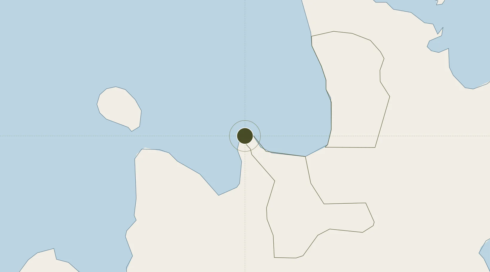
9.0597°, 125.2078°
62 ha
Zone area
16.2 km
Nearest port
32.1 km
Nearest airport

Gateway access

Nearest neighbours — logibook spatial index (haversine) over the source coordinates

Zone profile

Zone type
Diversified Zone
Open Zone Map
Region
Agusan del Norte
Open Zone Map
Status
Active
Open Zone Map
Management
Public
Open Zone Map
Operator
Provincial Govt't. of Agusan Del Norte/ PEA
Open Zone Map
Legal framework
Special Economic Zone Act (Republic Act No. 7916) (as amended by Republic Act No. 8748)
Open Zone Map

Location

Location of ozm-3153
Natural Earth 10m (public domain) · Agusan del Norte · ozm-3153 · 9.06, 125.21GoogleOSMYandex

Nearby Logistics Neighbours

Ports
  1. 1Nasipit Port16 km
  2. 2Masao24 km
  3. 3Gingoog28 km
  4. 4Butuan City38 km
  5. 5Villanueva72 km
Nearest neighbours — logibook spatial index (haversine) over the source coordinates
Airports
  1. 1Bancasi Airport32 km
  2. 2Camiguin Airport59 km
  3. 3Surigao Airport83 km
  4. 4Laguindingan International Airport96 km
  5. 5Tandag Airport106 km
Nearest neighbours — logibook spatial index (haversine) over the source coordinates
Cities
  1. 1Medina26 km
  2. 2Lunao28 km
  3. 3Mabini, Mindanao48 km
  4. 4Balingasag58 km
  5. 5Jasaan68 km
Nearest neighbours — logibook spatial index (haversine) over the source coordinates
Trade Zones
  1. 1Allcoco Development Corp Industrial Estate28 km
  2. 2Wilmari San Luis Gingoog Mis-Or Agro-Industrial Ecozone28 km
  3. 3ITC Ecozone33 km
  4. 4Tubay Agri-Processing Center36 km
  5. 5Taguibo Agro-Industrial Zone45 km
Nearest neighbours — logibook spatial index (haversine) over the source coordinates
DatabookThe Record of Consolidated Knowledge
Philippines beyond logistics?
Browse databook

All Sources

Trade ZonesOpen Zone Map
CC BY
Portsthe NGA World Port Index
Public domain (US gov)
AirportsOurAirports
Public domain
LocationsUN/LOCODE
UN/LOCODE — free
← Philippines trade zones