Transport Functions
Port
Hub Profile
Place type
District seat
Region
Caraga
Population
2,676
Time zone
Asia/Manila
Elevation
5 m
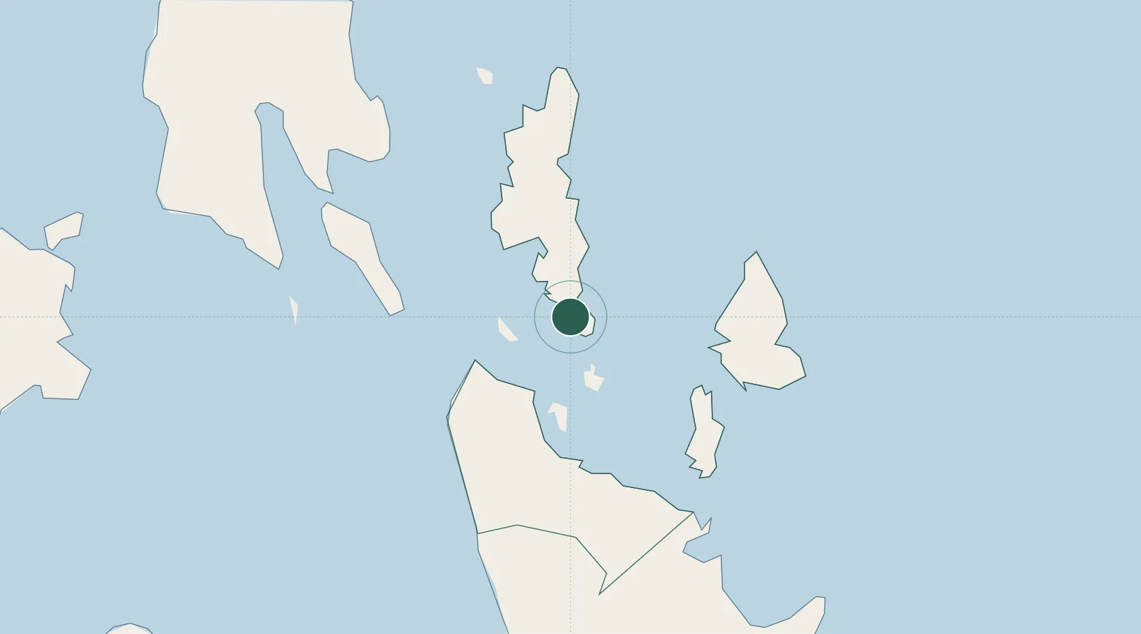
Location
Nearby Logistics Neighbours
Cities
- 1Gigaquit, Mindanao37 km
- 2Taganito44 km
- 3Homonhon93 km
- 4Hilongos112 km
- 5Manicani121 km
Ports
- 1Surigao City24 km
- 2Maasin94 km
- 3Masao106 km
- 4Butuan City109 km
- 5Nasipit Port110 km
Airports
- 1Surigao Airport27 km
- 2Siargao Airport39 km
- 3Tandag Airport109 km
- 4Bancasi Airport109 km
- 5Camiguin Airport128 km
Trade Zones
DatabookThe Record of Consolidated Knowledge
Philippines beyond logistics?