Medium airport · Philippines
Camiguin AirportRPMH
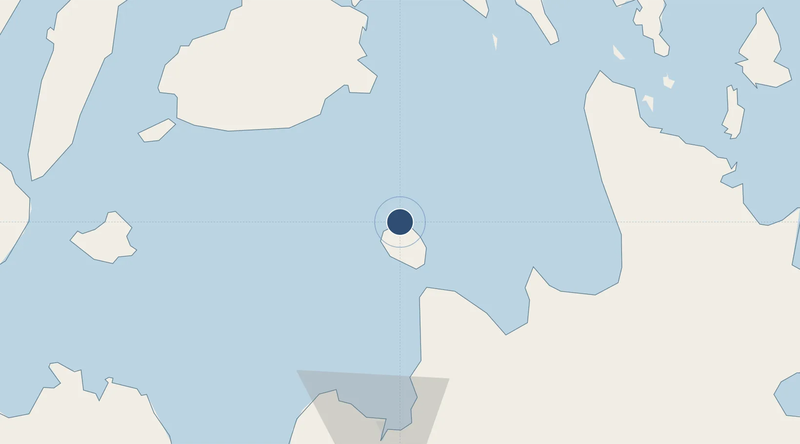
9.2539°, 124.7091°
3,945 ft
Longest runway
1
Runways
53 ft
Elevation
Runway & Layout

Runways · 1
| Runway | Dimensions | Surface | True heading | Lit |
|---|---|---|---|---|
| 07/25 | 3,945 × 98ft | Asphalt | 071° | — |
Airport Specifications
IATA code
CGM
ICAO code
RPMH
Airport class
Medium airport
Scheduled service
Yes
Runway surface
Asphalt
Served city
Mambajao
Location
Nearby Logistics Neighbours
Airports
- 1Laguindingan International Airport77 km
- 2Bancasi Airport91 km
- 3Surigao Airport101 km
- 4Bohol-Panglao International Airport109 km
- 5Mactan Cebu International Airport142 km
Cities
- 1Mabini, Mindanao35 km
- 2Medina51 km
- 3Balingasag57 km
- 4Lunao57 km
- 5Garcia Hernandez60 km
Ports
- 1Gingoog64 km
- 2Villanueva75 km
- 3Nasipit Port75 km
- 4Bugo82 km
- 5Masao83 km
DatabookThe Record of Consolidated Knowledge
Philippines beyond logistics?