Transport Functions
Port
Road
Hub Profile
Place type
Populated place
Region
Eastern Visayas
Time zone
Asia/Manila
Elevation
9 m
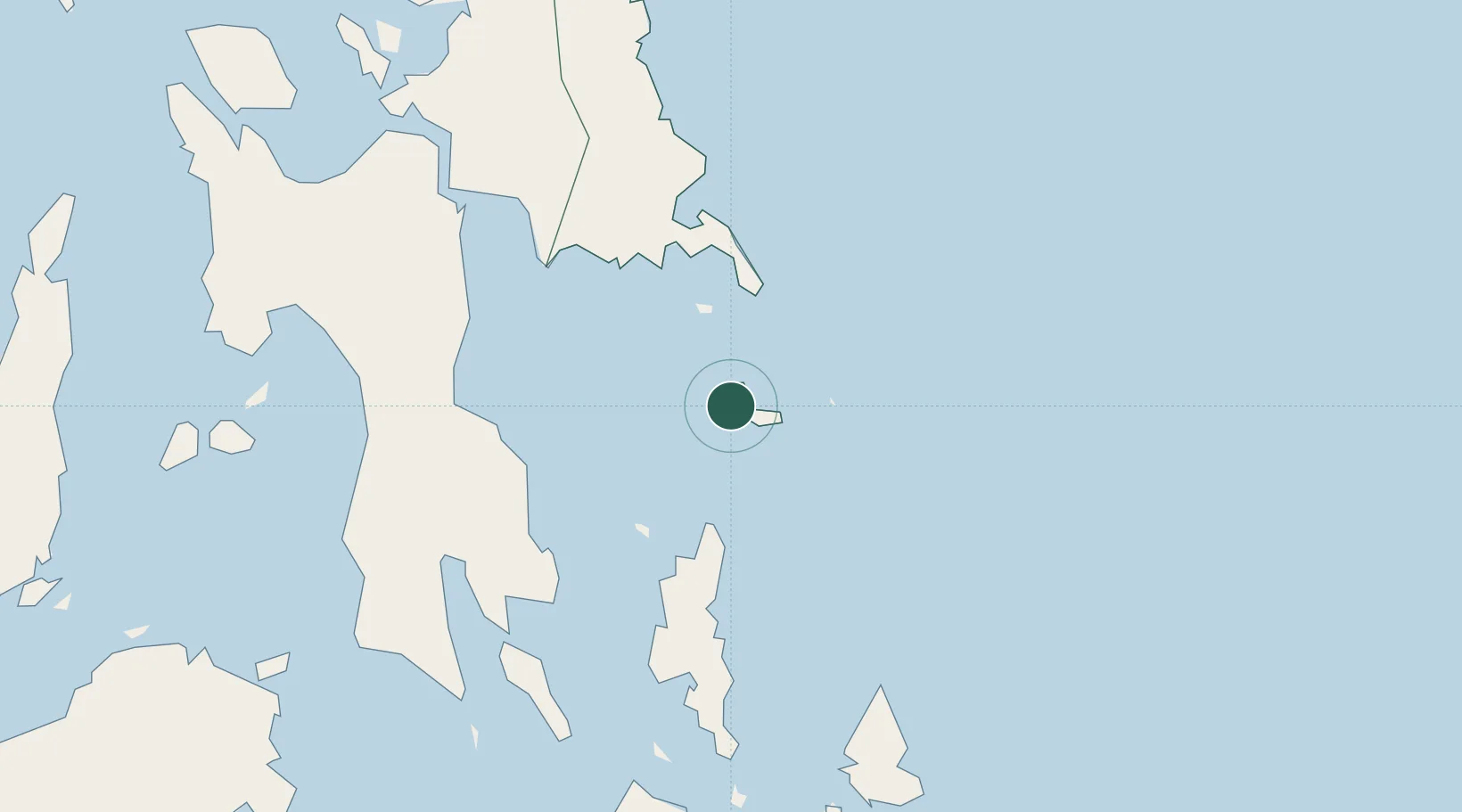
Location
Nearby Logistics Neighbours
Ports
- 1Guiuan32 km
- 2Tanauan84 km
- 3Tacloban95 km
- 4Baybay99 km
- 5Port Borongan99 km
Airports
- 1Daniel Z. Romualdez Airport91 km
- 2Siargao Airport105 km
- 3Surigao Airport113 km
- 4Ormoc Airport129 km
- 5Calbayog Airport194 km
DatabookThe Record of Consolidated Knowledge
Philippines beyond logistics?