Medium airport · Philippines
Surigao AirportRPMS
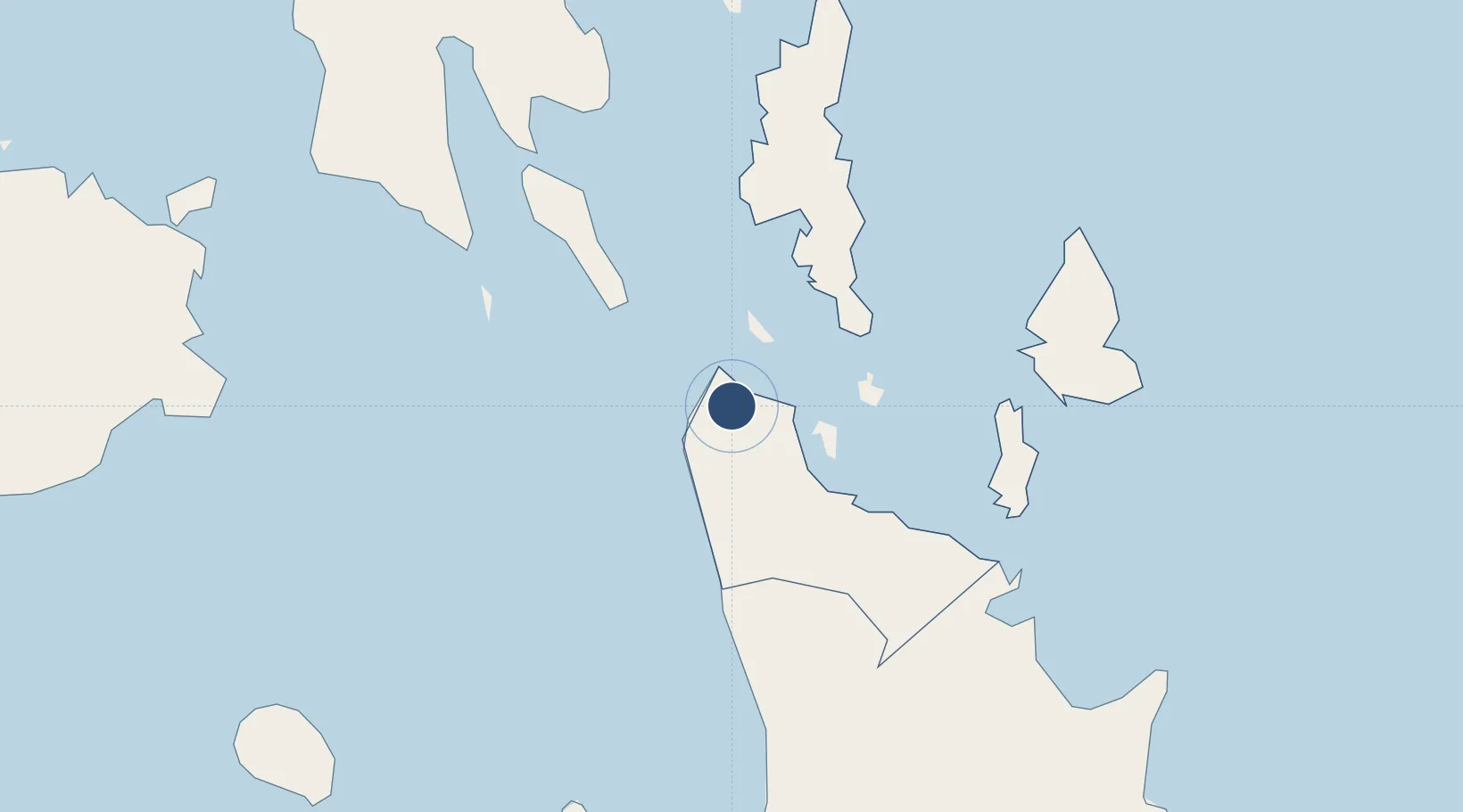
9.7558°, 125.4809°
5,603 ft
Longest runway
1
Runways
20 ft
Elevation
Runway & Layout

Radio Frequencies
FSS
122 MHz
RDO
Navaids
SU NDB Surigao 415 kHz
Runways · 1
| Runway | Dimensions | Surface | True heading | Lit |
|---|---|---|---|---|
| 18/36 | 5,603 × 98ft | Concrete | 172° | ✓ |
Airport Specifications
IATA code
SUG
ICAO code
RPMS
Airport class
Medium airport
Scheduled service
Yes
Runway surface
Concrete
Served city
Surigao City
Location
Nearby Logistics Neighbours
Airports
- 1Siargao Airport60 km
- 2Bancasi Airport89 km
- 3Camiguin Airport101 km
- 4Tandag Airport107 km
- 5Laguindingan International Airport170 km
Cities
- 1Cagdianao27 km
- 2Gigaquit, Mindanao29 km
- 3Taganito43 km
- 4Hilongos105 km
- 5Medina106 km
Ports
- 1Surigao City4 km
- 2Maasin82 km
- 3Masao84 km
- 4Nasipit Port87 km
- 5Butuan City90 km
Trade Zones
DatabookThe Record of Consolidated Knowledge
Philippines beyond logistics?