Small airport · Philippines
Siargao AirportRPNS
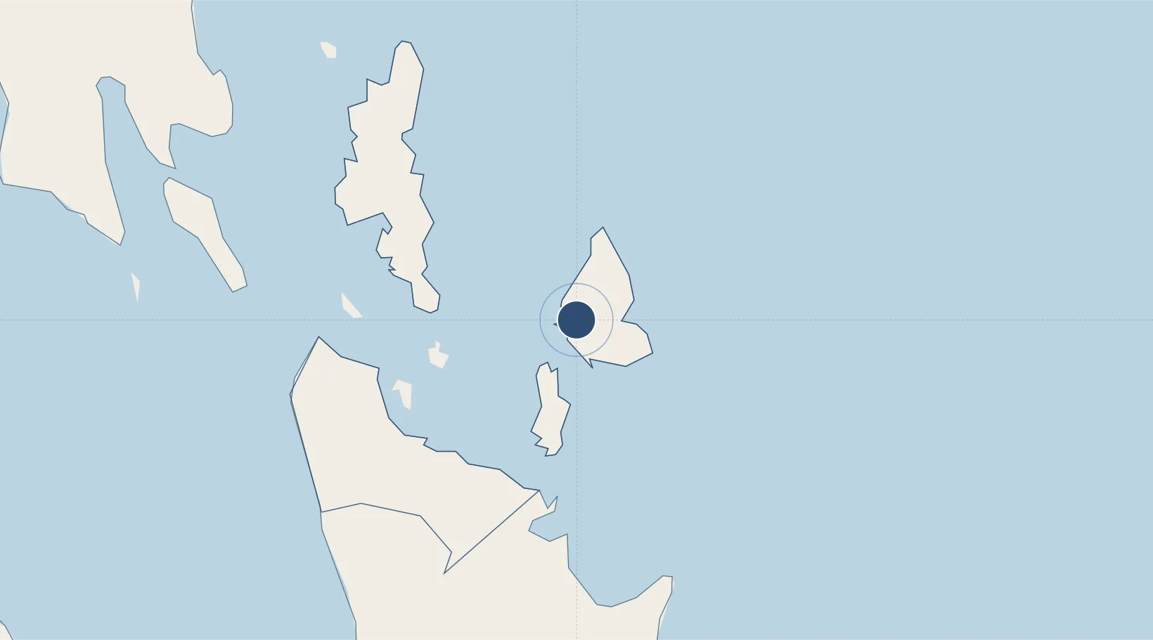
9.8591°, 126.0140°
4,167 ft
Longest runway
1
Runways
10 ft
Elevation
Runway & Layout

Runways · 1
| Runway | Dimensions | Surface | True heading | Lit |
|---|---|---|---|---|
| 01/19 | 4,167 × 98ft | Concrete | 010° | — |
Airport Specifications
IATA code
IAO
ICAO code
RPNS
Airport class
Small airport
Scheduled service
Yes
Runway surface
Concrete
Served city
Del Carmen
Location
Nearby Logistics Neighbours
Airports
- 1Surigao Airport60 km
- 2Tandag Airport89 km
- 3Bancasi Airport117 km
- 4Camiguin Airport158 km
- 5Daniel Z. Romualdez Airport187 km
Cities
- 1Cagdianao39 km
- 2Taganito41 km
- 3Gigaquit, Mindanao48 km
- 4Homonhon105 km
- 5Aras Asan/Bislig113 km
Ports
- 1Surigao City57 km
- 2Butuan City114 km
- 3Masao116 km
- 4Nasipit Port123 km
- 5Maasin133 km
Trade Zones
DatabookThe Record of Consolidated Knowledge
Philippines beyond logistics?