Specialized Zone · Philippines

Taguibo Agro-Industrial Zone Under Development
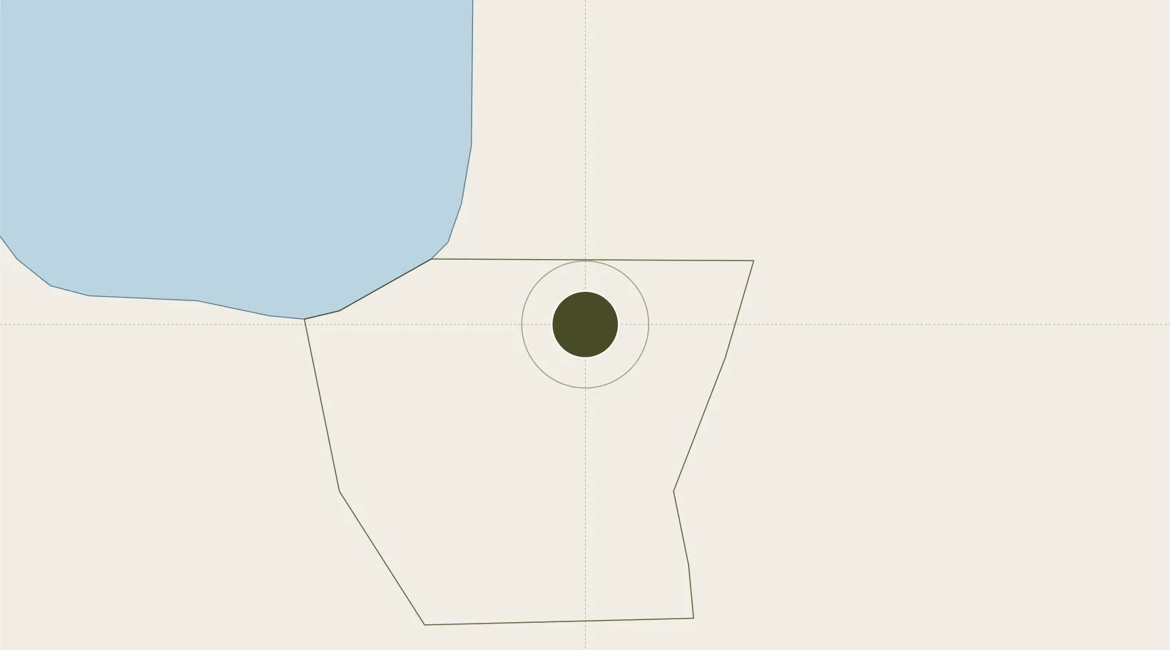
8.9768°, 125.6091°
141 ha
Zone area
8.8 km
Nearest port
14.6 km
Nearest airport

Gateway access

Nearest neighbours — logibook spatial index (haversine) over the source coordinates

Zone profile

Zone type
Specialized Zone
Open Zone Map
Specialization
Agriculture
Open Zone Map
Region
Butuan
Open Zone Map
Status
Under Development
Open Zone Map
Management
Private
Open Zone Map
Operator
Taguibo Agro-Economic Zone Corporation
Open Zone Map
Legal framework
Special Economic Zone Act (Republic Act No. 7916) (as amended by Republic Act No. 8748)
Open Zone Map

Location

Location of ozm-3361
Natural Earth 10m (public domain) · Butuan · ozm-3361 · 8.98, 125.61GoogleOSMYandex

Nearby Logistics Neighbours

Ports
  1. 1Butuan City9 km
  2. 2Masao21 km
  3. 3Nasipit Port30 km
  4. 4Gingoog58 km
  5. 5Surigao City91 km
Nearest neighbours — logibook spatial index (haversine) over the source coordinates
Airports
  1. 1Bancasi Airport15 km
  2. 2Tandag Airport63 km
  3. 3Surigao Airport88 km
  4. 4Camiguin Airport104 km
  5. 5Siargao Airport108 km
Nearest neighbours — logibook spatial index (haversine) over the source coordinates
Cities
  1. 1Lunao63 km
  2. 2Medina65 km
  3. 3Taganito68 km
  4. 4Gigaquit, Mindanao68 km
  5. 5Aras Asan/Bislig77 km
Nearest neighbours — logibook spatial index (haversine) over the source coordinates
Trade Zones
  1. 1ITC Ecozone12 km
  2. 2Tubay Agri-Processing Center31 km
  3. 3Nasipit Agusan del Norte Industrial Estate45 km
  4. 4Wilmari San Luis Gingoog Mis-Or Agro-Industrial Ecozone63 km
  5. 5Taganito Special Economic Zone66 km
Nearest neighbours — logibook spatial index (haversine) over the source coordinates
DatabookThe Record of Consolidated Knowledge
Philippines beyond logistics?
Browse databook

All Sources

Trade ZonesOpen Zone Map
CC BY
Portsthe NGA World Port Index
Public domain (US gov)
AirportsOurAirports
Public domain
LocationsUN/LOCODE
UN/LOCODE — free
← Philippines trade zones