Seaport · Philippines

MaasinPHMAA

10.1333°, 124.8333°
12.5 m
Channel depth

Channel & Berth Profile

SEA LEVEL (CD)CHANNEL BEDCargo pier · 4.9 mAnchorage · 9.4 mChannel · 12.5 m
NGA World Port Index

Pilotage, Tugs & Services

Pilotage compulsoryYES
Potable waterYES
Diesel bunkersYES
NGA World Port Index

Facilities & Capabilities

Container
Ro-Ro
Liquid bulk
Dry bulk
Oil terminal
Break bulk
Dry dock
Repairs
Bunkering
Rail link
Dangerous cargo
ISPS security
NGA World Port Index

Harbour Specifications

Harbour size
Very Small
NGA World Port Index
Harbour type
Open Roadstead
NGA World Port Index
Shelter
Fair
NGA World Port Index
Water body
Bohol Sea; Philippine inland seas; North Pacific Ocean
NGA World Port Index
Tidal range
3 m
NGA World Port Index
Pilotage
Yes
NGA World Port Index

Location

Location of PHMAA
Natural Earth 10m (public domain) · Southern Leyte · PHMAA · 10.13, 124.83GoogleOSMYandex

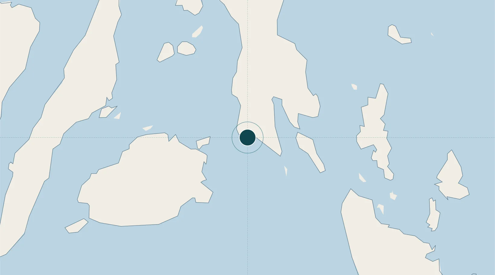
Nearby Logistics Neighbours

Ports
  1. 1Baybay61 km
  2. 2Surigao City83 km
  3. 3Tubigan97 km
  4. 4Isabel98 km
  5. 5Ormoc100 km
Nearest neighbours — logibook spatial index (haversine) over the source coordinates
Cities
  1. 1Hilongos28 km
  2. 2Talibon57 km
  3. 3Garcia Hernandez82 km
  4. 4Mactan Island Apt93 km
  5. 5Cagdianao94 km
Nearest neighbours — logibook spatial index (haversine) over the source coordinates
Airports
  1. 1Surigao Airport82 km
  2. 2Mactan Cebu International Airport95 km
  3. 3Camiguin Airport99 km
  4. 4Ormoc Airport107 km
  5. 5Daniel Z. Romualdez Airport124 km
Nearest neighbours — logibook spatial index (haversine) over the source coordinates
Trade Zones
  1. 1New Jubilee Agro-Industrial Economic Zone77 km
  2. 2The Mactan Newtown92 km
  3. 3Mactan Economic Zone95 km
  4. 4MacroAsia Cebu Special Ecozone96 km
  5. 5Leyte Industrial Development Estate96 km
Nearest neighbours — logibook spatial index (haversine) over the source coordinates
DatabookThe Record of Consolidated Knowledge
Philippines beyond logistics?
Browse databook

All Sources

Portsthe NGA World Port Index
Public domain (US gov)
AirportsOurAirports
Public domain
LocationsUN/LOCODE
UN/LOCODE — free
Trade Zonesthe World Bank SEZ database
CC BY 4.0
Trade ZonesOpen Zone Map
CC BY
← Philippines ports