Transport Functions
Port
Hub Profile
Place type
Populated place
Region
Caraga
Time zone
Asia/Manila
Elevation
11 m
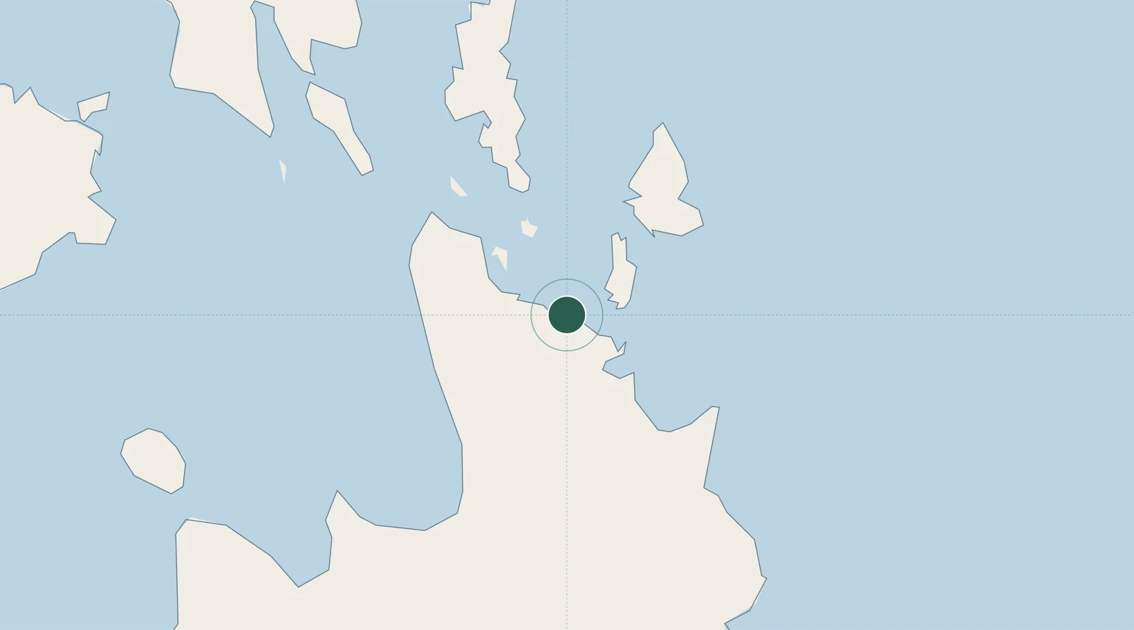
Location
Nearby Logistics Neighbours
Cities
- 1Gigaquit, Mindanao15 km
- 2Cagdianao44 km
- 3Aras Asan/Bislig91 km
- 4Marihatag, Mindanao100 km
- 5Medina113 km
Ports
- 1Surigao City43 km
- 2Butuan City74 km
- 3Masao75 km
- 4Nasipit Port82 km
- 5Gingoog112 km
Airports
- 1Siargao Airport41 km
- 2Surigao Airport43 km
- 3Tandag Airport66 km
- 4Bancasi Airport76 km
- 5Camiguin Airport126 km
Trade Zones
DatabookThe Record of Consolidated Knowledge
Philippines beyond logistics?