Export Processing Zone · Philippines

Taganito Special Economic Zone Active
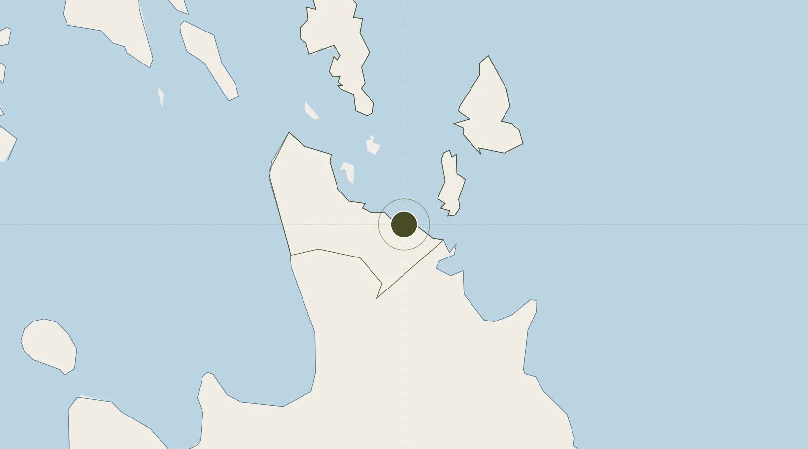
9.5396°, 125.8126°
687 ha
Zone area
43.7 km
Nearest port
41.8 km
Nearest airport

Gateway access

Nearest neighbours — logibook spatial index (haversine) over the source coordinates

Zone profile

Zone type
Export Processing Zone
Open Zone Map
Region
Surigao del Norte
Open Zone Map
Status
Active
Open Zone Map
Management
Private
Open Zone Map
Operator
Taganito Mining Corporation
Open Zone Map
Legal framework
Special Economic Zone Act (Republic Act No. 7916) (as amended by Republic Act No. 8748)
Open Zone Map

Location

Location of ozm-3259
Natural Earth 10m (public domain) · Surigao del Norte · ozm-3259 · 9.54, 125.81GoogleOSMYandex

Nearby Logistics Neighbours

Ports
  1. 1Surigao City44 km
  2. 2Butuan City72 km
  3. 3Masao74 km
  4. 4Nasipit Port81 km
  5. 5Gingoog111 km
Nearest neighbours — logibook spatial index (haversine) over the source coordinates
Airports
  1. 1Siargao Airport42 km
  2. 2Surigao Airport44 km
  3. 3Tandag Airport65 km
  4. 4Bancasi Airport75 km
  5. 5Camiguin Airport125 km
Nearest neighbours — logibook spatial index (haversine) over the source coordinates
Cities
  1. 1Taganito1 km
  2. 2Gigaquit, Mindanao15 km
  3. 3Cagdianao45 km
  4. 4Aras Asan/Bislig91 km
  5. 5Marihatag, Mindanao99 km
Nearest neighbours — logibook spatial index (haversine) over the source coordinates
Trade Zones
  1. 1Tubay Agri-Processing Center49 km
  2. 2Taguibo Agro-Industrial Zone66 km
  3. 3ITC Ecozone69 km
  4. 4Nasipit Agusan del Norte Industrial Estate85 km
  5. 5Wilmari San Luis Gingoog Mis-Or Agro-Industrial Ecozone113 km
Nearest neighbours — logibook spatial index (haversine) over the source coordinates
DatabookThe Record of Consolidated Knowledge
Philippines beyond logistics?
Browse databook

All Sources

Trade ZonesOpen Zone Map
CC BY
Portsthe NGA World Port Index
Public domain (US gov)
AirportsOurAirports
Public domain
LocationsUN/LOCODE
UN/LOCODE — free
← Philippines trade zones