UN/LOCODE hub · Philippines
PHGGG

Gigaquit, Mindanao

9.5833°, 125.6833°
2
Transport functions

Transport Functions

Port
Road
UN/LOCODE

Hub Profile

Region
SUN
GeoNames

Location

Location of PHGGG
Natural Earth 10m (public domain) · SUN · PHGGG · 9.58, 125.68GoogleOSMYandex

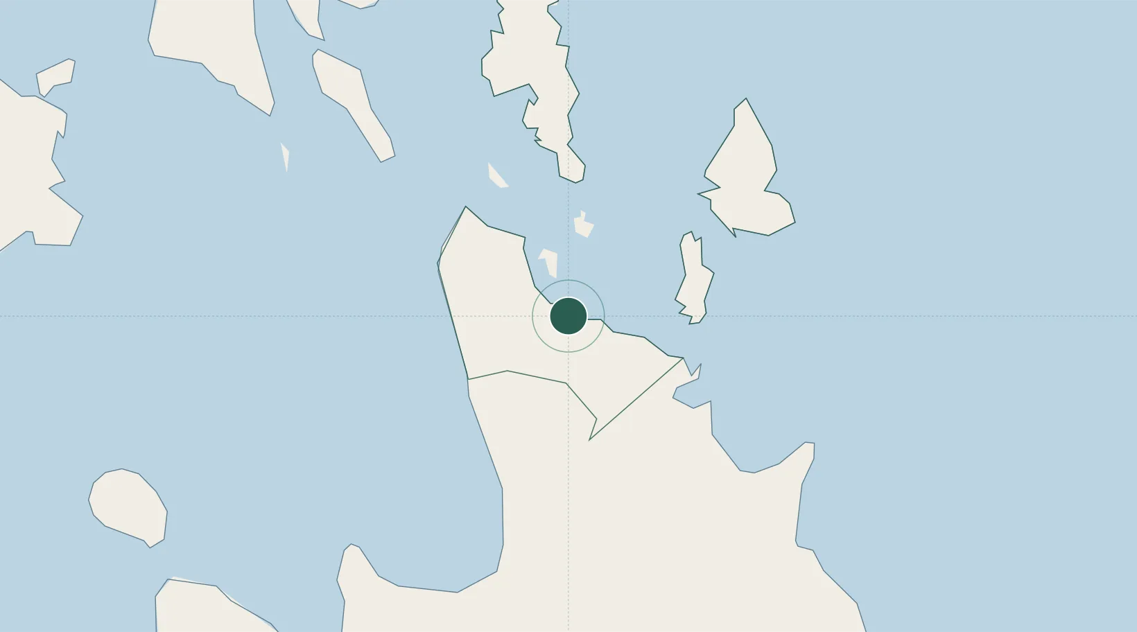
Nearby Logistics Neighbours

Cities
  1. 1Taganito15 km
  2. 2Cagdianao37 km
  3. 3Aras Asan/Bislig103 km
  4. 4Medina104 km
  5. 5Lunao106 km
Nearest neighbours — logibook spatial index (haversine) over the source coordinates
Ports
  1. 1Surigao City30 km
  2. 2Masao71 km
  3. 3Butuan City72 km
  4. 4Nasipit Port77 km
  5. 5Gingoog105 km
Nearest neighbours — logibook spatial index (haversine) over the source coordinates
Airports
  1. 1Surigao Airport29 km
  2. 2Siargao Airport48 km
  3. 3Bancasi Airport74 km
  4. 4Tandag Airport78 km
  5. 5Camiguin Airport113 km
Nearest neighbours — logibook spatial index (haversine) over the source coordinates
Trade Zones
  1. 1Taganito Special Economic Zone15 km
  2. 2Tubay Agri-Processing Center45 km
  3. 3Taguibo Agro-Industrial Zone68 km
  4. 4ITC Ecozone68 km
  5. 5Nasipit Agusan del Norte Industrial Estate78 km
Nearest neighbours — logibook spatial index (haversine) over the source coordinates
DatabookThe Record of Consolidated Knowledge
Philippines beyond logistics?
Browse databook

All Sources

LocationsUN/LOCODE
UN/LOCODE — free
Portsthe NGA World Port Index
Public domain (US gov)
AirportsOurAirports
Public domain
Trade Zonesthe World Bank SEZ database
CC BY 4.0
Trade ZonesOpen Zone Map
CC BY
← Philippines locations