Diversified Zone · Philippines

Tubay Agri-Processing Center Active
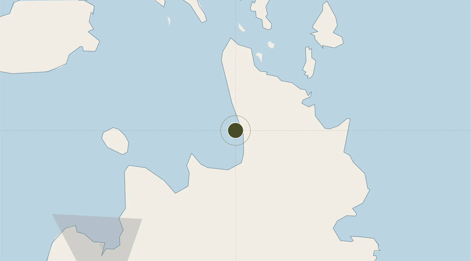
9.2316°, 125.4894°
237 ha
Zone area
27.0 km
Nearest port
31.2 km
Nearest airport

Gateway access

Nearest neighbours — logibook spatial index (haversine) over the source coordinates

Zone profile

Zone type
Diversified Zone
Open Zone Map
Region
Agusan del Norte
Open Zone Map
Status
Active
Open Zone Map
Management
Private
Open Zone Map
Operator
JC Agricultural Development, Inc.
Open Zone Map
Legal framework
Special Economic Zone Act (Republic Act No. 7916) (as amended by Republic Act No. 8748)
Open Zone Map

Location

Location of ozm-3211
Natural Earth 10m (public domain) · Agusan del Norte · ozm-3211 · 9.23, 125.49GoogleOSMYandex

Nearby Logistics Neighbours

Ports
  1. 1Masao27 km
  2. 2Butuan City32 km
  3. 3Nasipit Port33 km
  4. 4Surigao City61 km
  5. 5Gingoog62 km
Nearest neighbours — logibook spatial index (haversine) over the source coordinates
Airports
  1. 1Bancasi Airport31 km
  2. 2Surigao Airport58 km
  3. 3Tandag Airport77 km
  4. 4Camiguin Airport86 km
  5. 5Siargao Airport90 km
Nearest neighbours — logibook spatial index (haversine) over the source coordinates
Cities
  1. 1Gigaquit, Mindanao45 km
  2. 2Taganito50 km
  3. 3Medina63 km
  4. 4Lunao63 km
  5. 5Cagdianao79 km
Nearest neighbours — logibook spatial index (haversine) over the source coordinates
Trade Zones
  1. 1ITC Ecozone26 km
  2. 2Taguibo Agro-Industrial Zone31 km
  3. 3Nasipit Agusan del Norte Industrial Estate36 km
  4. 4Taganito Special Economic Zone49 km
  5. 5Wilmari San Luis Gingoog Mis-Or Agro-Industrial Ecozone63 km
Nearest neighbours — logibook spatial index (haversine) over the source coordinates
DatabookThe Record of Consolidated Knowledge
Philippines beyond logistics?
Browse databook

All Sources

Trade ZonesOpen Zone Map
CC BY
Portsthe NGA World Port Index
Public domain (US gov)
AirportsOurAirports
Public domain
LocationsUN/LOCODE
UN/LOCODE — free
← Philippines trade zones