Medium airport · Philippines
Tandag AirportRPMW
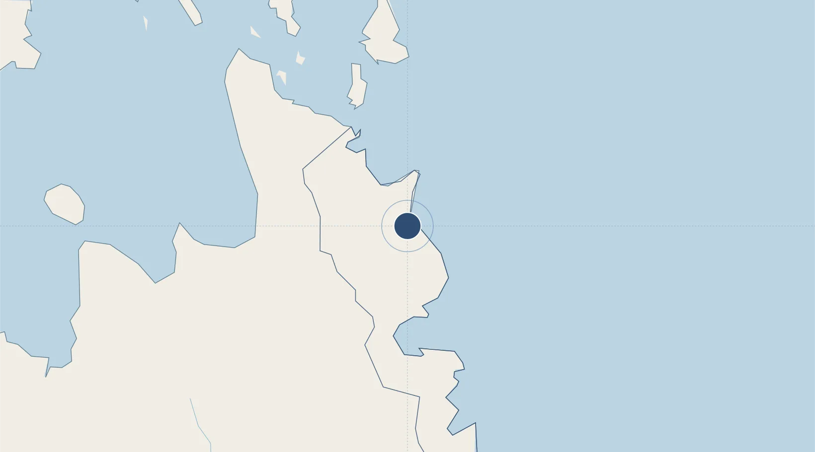
9.0720°, 126.1713°
4,765 ft
Longest runway
1
Runways
16 ft
Elevation
Runway & Layout

Radio Frequencies
FSS
122.6 MHz
RDO
Navaids
TD NDB Tandag 232 kHz
Runways · 1
| Runway | Dimensions | Surface | True heading | Lit |
|---|---|---|---|---|
| 03/21 | 4,765 × 98ft | Concrete | 026° | — |
Airport Specifications
IATA code
TDG
ICAO code
RPMW
Airport class
Medium airport
Scheduled service
No
Runway surface
Concrete
Served city
Tandag
Location
Nearby Logistics Neighbours
Airports
- 1Bancasi Airport77 km
- 2Siargao Airport89 km
- 3Bislig Airport99 km
- 4Surigao Airport107 km
- 5Camiguin Airport162 km
Cities
- 1Aras Asan/Bislig25 km
- 2Marihatag, Mindanao34 km
- 3Taganito66 km
- 4Gigaquit, Mindanao78 km
- 5Cagdianao109 km
Ports
- 1Butuan City71 km
- 2Hinatuan80 km
- 3Masao83 km
- 4Nasipit Port93 km
- 5Mangagoy95 km
Trade Zones
DatabookThe Record of Consolidated Knowledge
Philippines beyond logistics?