Transport Functions
Multimodal
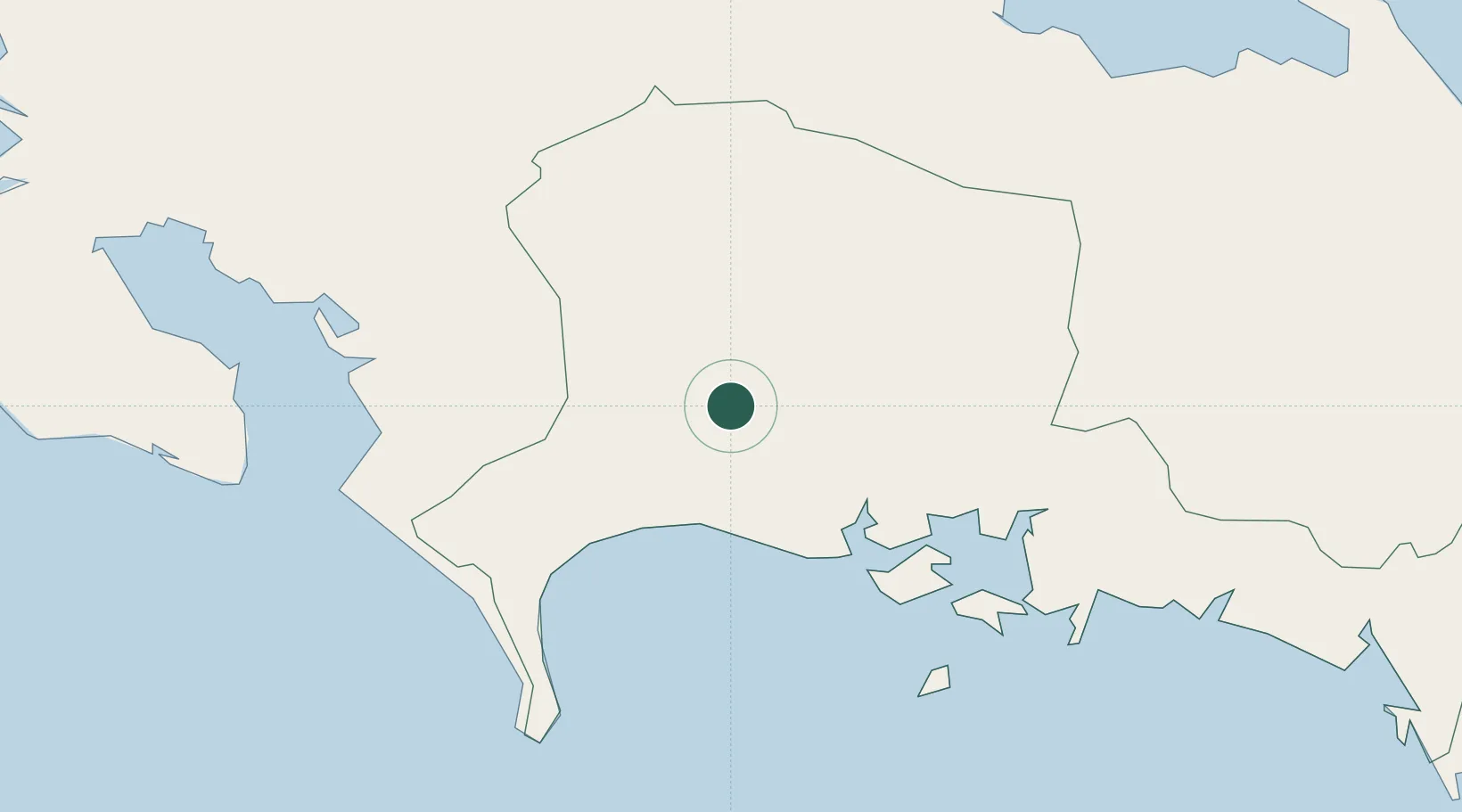
Hub Profile
Place type
District seat
Region
Chiriquí Province
Population
3,263
Time zone
America/Panama
Elevation
156 m
Location
Nearby Logistics Neighbours
Ports
- 1Pedregal25 km
- 2Puerto Armuelles35 km
- 3Charco Azul40 km
- 4Golfito63 km
- 5Chiriqui Grande76 km
Airports
Trade Zones
DatabookThe Record of Consolidated Knowledge
Panama beyond logistics?