Channel & Berth Profile
Pilotage, Tugs & Services
Pilotage compulsoryYES
Pilotage availableYES
Pilotage advisableYES
Local assistanceYES
Potable waterYES
Diesel bunkersNO
MedicalYES
Facilities & Capabilities
Container—
Ro-Ro—
Liquid bulk—
Dry bulk—
Oil terminal—
Break bulk—
Dry dock—
RepairsNO
BunkeringNO
Rail linkYES
Dangerous cargo—
ISPS security—
Harbour Specifications
Harbour size
Small
Harbour type
Open Roadstead
Shelter
Good
Water body
North Pacific Ocean
Tidal range
3 m
Pilotage
Yes
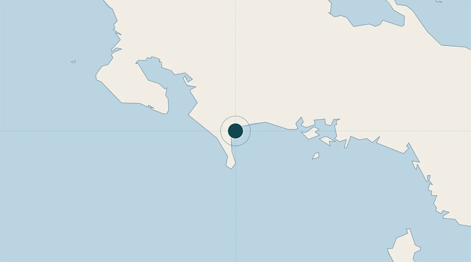
Location
Nearby Logistics Neighbours
Ports
- 1Charco Azul6 km
- 2Pedregal47 km
- 3Golfito54 km
- 4Chiriqui Grande111 km
- 5Almirante125 km
Airports
- 1Coto 47 Airport40 km
- 2Enrique Malek International Airport48 km
- 3Golfito Airport57 km
- 4Puerto Jimenez Airport58 km
- 5Palmar Sur Airport102 km
Trade Zones
DatabookThe Record of Consolidated Knowledge
Panama beyond logistics?