Specialized Zone · Panama

Zona Franca Cobol Due Under Development
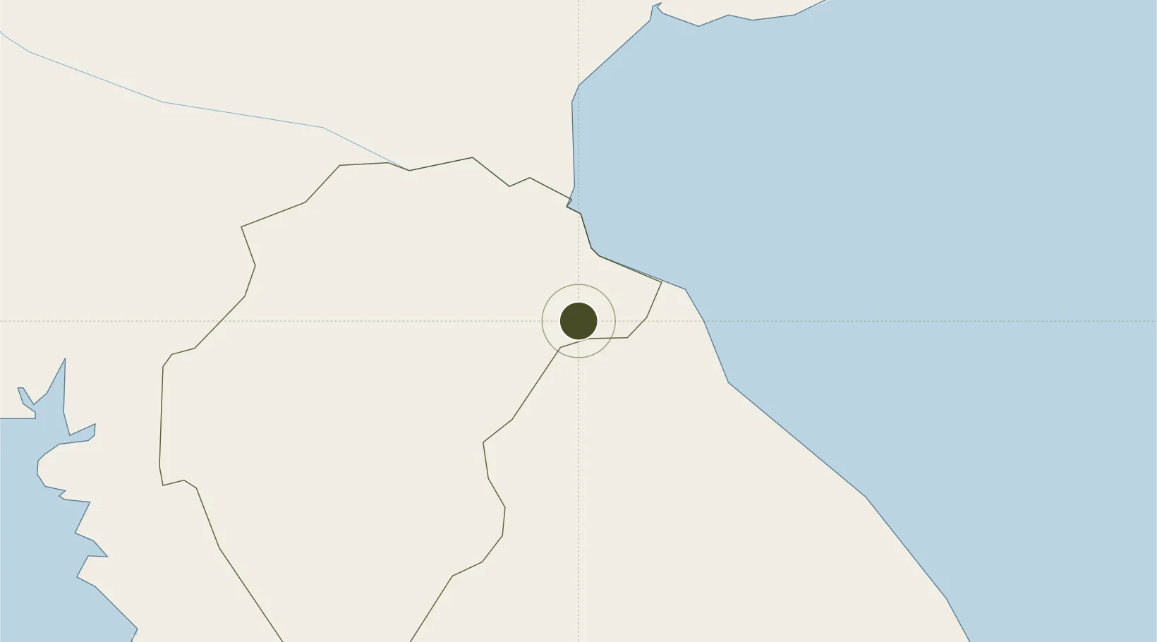
7.9530°, -80.4703°
12 ha
Zone area
120.9 km
Nearest port
7.7 km
Nearest airport

Gateway access

Nearest neighbours — logibook spatial index (haversine) over the source coordinates

Zone profile

Zone type
Specialized Zone
Open Zone Map
Specialization
Agriculture
Open Zone Map
Region
Herrera
Open Zone Map
Status
Under Development
Open Zone Map
Management
Private
Open Zone Map
Operator
Cobol Due, SA
Open Zone Map
Legal framework
Law No. 19 of 2001, Law 120 of 2013, and Law No. 8 of April 4, 2016
Open Zone Map

Location

Location of ozm-3074
Natural Earth 10m (public domain) · Herrera · ozm-3074 · 7.95, -80.47GoogleOSMYandex

Nearby Logistics Neighbours

Ports
  1. 1Punta Rincon121 km
  2. 2Vacamonte135 km
  3. 3Balboa149 km
  4. 4Puerto Cristobal167 km
  5. 5Puerto Colon170 km
Nearest neighbours — logibook spatial index (haversine) over the source coordinates
Airports
  1. 1Alonso Valderrama Airport8 km
  2. 2Ruben Cantu Airport54 km
  3. 3Scarlett Martinez International Airport60 km
  4. 4Capt. J. Montenegro Airport66 km
  5. 5Pixvae Airstrip122 km
Nearest neighbours — logibook spatial index (haversine) over the source coordinates
Cities
  1. 1Chitre4 km
  2. 2Los Santos6 km
  3. 3Agua Buena17 km
  4. 4Pesé17 km
  5. 5Potuga21 km
Nearest neighbours — logibook spatial index (haversine) over the source coordinates
Trade Zones
  1. 1Panamá Pacífico Special Economic Area144 km
  2. 2Zona Franca Marpesca Corozal151 km
  3. 3City of Knowledge (Ciudad del Saber)151 km
  4. 4Zona Franca de Albrook153 km
  5. 5Zona Franca Eurofusión156 km
Nearest neighbours — logibook spatial index (haversine) over the source coordinates
DatabookThe Record of Consolidated Knowledge
Panama beyond logistics?
Browse databook

All Sources

Trade ZonesOpen Zone Map
CC BY
Portsthe NGA World Port Index
Public domain (US gov)
AirportsOurAirports
Public domain
LocationsUN/LOCODE
UN/LOCODE — free
← Panama trade zones