Runway & Layout

Navaids
JSK TACAN Jask 116.30 MHz
Airport Specifications
IATA code
JSK
ICAO code
OIZJ
Airport class
Small airport
Scheduled service
Yes
Served city
Bandar-e-Jask
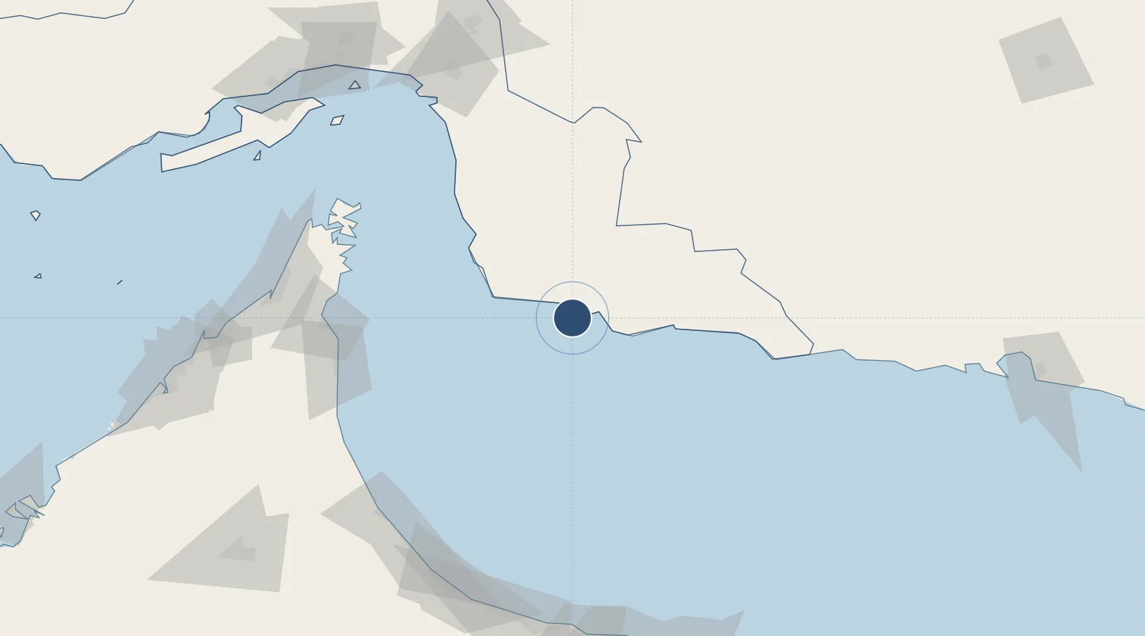
Location
Nearby Logistics Neighbours
Airports
Cities
- 1Khor al Fakkan147 km
- 2Dibba154 km
- 3Vopak Horizion Terminal154 km
- 4Al Fujayrah155 km
- 5Kalba160 km
Ports
- 1Jask4 km
- 2Khawr Fakkan147 km
- 3Khawr Khasab169 km
- 4Port Of Sohar173 km
- 5Mina Saqr179 km
Trade Zones
- 1Fujairah Free Zone155 km
- 2Fujairah Creative City160 km
- 3Sohar Free Zone177 km
- 4RAK Maritime City Free Zone177 km
- 5RAKEZ Al Ghail Industrial Zone185 km
DatabookThe Record of Consolidated Knowledge
Iran beyond logistics?