Large airport · Oman
Suhar International AirportOOSH
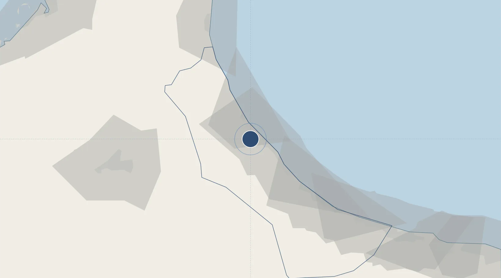
24.3860°, 56.6254°
13,173 ft
Longest runway
1
Runways
20 ft
Elevation
Runway & Layout

Runways · 1
| Runway | Dimensions | Surface | True heading | Lit |
|---|---|---|---|---|
| 15/33 | 13,173 × 194ft | Asphalt | — | ✓ |
Airport Specifications
IATA code
OHS
ICAO code
OOSH
Airport class
Large airport
Scheduled service
Yes
Runway surface
Asphalt
Served city
Suhar
Location
Nearby Logistics Neighbours
Airports
- 1Fujairah International Airport86 km
- 2Al Ain International Airport104 km
- 3Mussanah Airport121 km
- 4Al Minhad Air Base146 km
- 5Ras Al Khaimah International Airport153 km
Cities
- 1Sohar12 km
- 2Shinas42 km
- 3Kalba81 km
- 4Al Fujayrah93 km
- 5Al-Suwaiq101 km
Ports
- 1Port Of Sohar15 km
- 2Khawr Fakkan112 km
- 3Dubayy166 km
- 4Ajman166 km
- 5Ash Shariqah166 km
Trade Zones
- 1Sohar Free Zone13 km
- 2Fujairah Creative City87 km
- 3Fujairah Free Zone92 km
- 4Al Ain Industrial City106 km
- 5RAKEZ Al Ghail Industrial Zone131 km
DatabookThe Record of Consolidated Knowledge
Oman beyond logistics?