Transport Functions
Multimodal
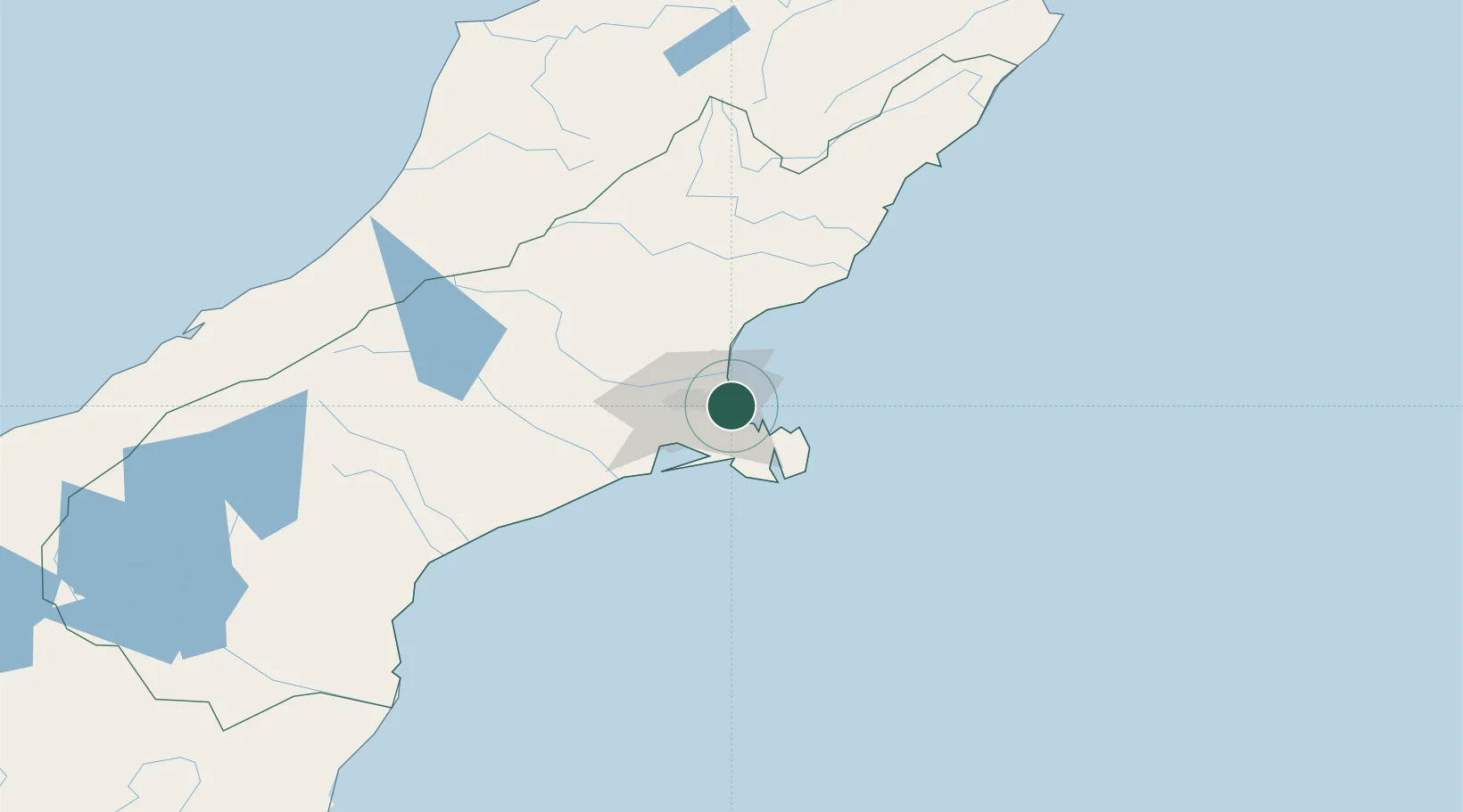
Hub Profile
Place type
Populated place
Region
Canterbury
Population
1,900
Time zone
Pacific/Auckland
Elevation
22 m
Location
Nearby Logistics Neighbours
Ports
- 1Port Lyttelton6 km
- 2Akaroa33 km
- 3Timaru153 km
- 4Greymouth176 km
- 5Westport221 km
Airports
- 1Christchurch International Airport19 km
- 2Timaru Airport148 km
- 3Hokitika Airfield171 km
- 4Oamaru Airport206 km
- 5Mount Cook Airport212 km
Trade Zones
- 1Hicks Bay Area Special Economic Zone803 km
- 2Latrobe Valley Economic Growth Zone2283 km
- 3Rotuma-Kadavu Tax-Free Region2875 km
- 4Kalabu Tax Free Zone2882 km
- 5Nausori-Ba Tax-Free Region2889 km
DatabookThe Record of Consolidated Knowledge
New Zealand beyond logistics?