UN/LOCODE hub · New Zealand
NZOLT
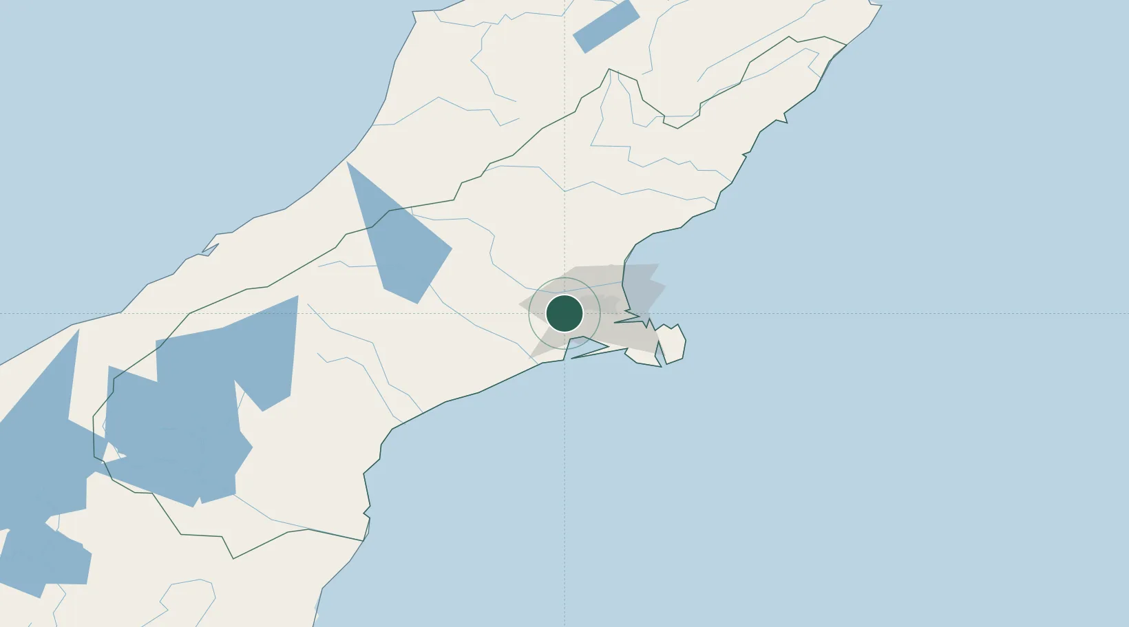
Rolleston
-43.5833°, 172.3833°
33,200
Population
2
Transport functions
Transport Functions
Port
Multimodal
Hub Profile
Place type
Populated place
Region
Canterbury
Population
33,200
Time zone
Pacific/Auckland
Elevation
60 m
Logistics facilities
2
Location
Nearby Logistics Neighbours
Ports
- 1Port Lyttelton27 km
- 2Akaroa53 km
- 3Timaru128 km
- 4Greymouth159 km
- 5Westport214 km
Airports
- 1Christchurch International Airport16 km
- 2Timaru Airport123 km
- 3Hokitika Airfield149 km
- 4Mount Cook Airport182 km
- 5Glentanner Airport185 km
Trade Zones
- 1Hicks Bay Area Special Economic Zone823 km
- 2Latrobe Valley Economic Growth Zone2254 km
- 3Rotuma-Kadavu Tax-Free Region2885 km
- 4Kalabu Tax Free Zone2892 km
- 5Nausori-Ba Tax-Free Region2900 km
DatabookThe Record of Consolidated Knowledge
New Zealand beyond logistics?