UN/LOCODE hub · New Zealand
NZLYT
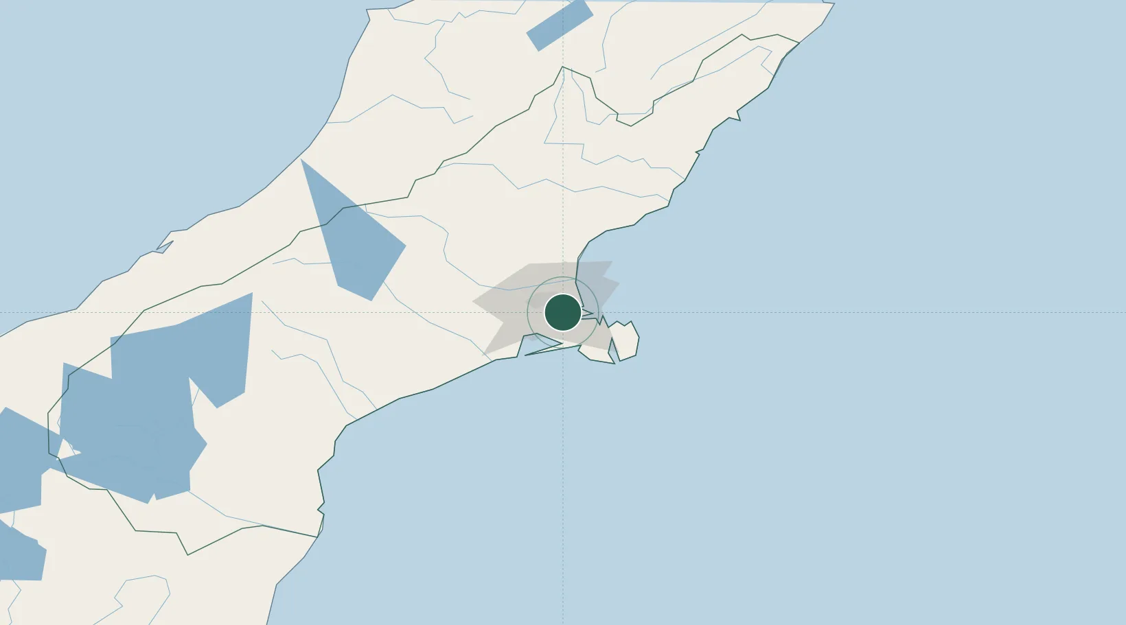
Lyttelton
-43.5954°, 172.6540°
3,200
Population
2
Transport functions
1
Container terminals
Transport Functions
Port
Road
Hub Profile
Place type
Populated place
Region
Canterbury
Population
3,200
Time zone
Pacific/Auckland
Elevation
6 m
Logistics facilities
8
Container terminals
1
Location
Nearby Logistics Neighbours
Airports
- 1Christchurch International Airport15 km
- 2Timaru Airport139 km
- 3Hokitika Airfield167 km
- 4Oamaru Airport198 km
- 5Mount Cook Airport204 km
Trade Zones
- 1Hicks Bay Area Special Economic Zone811 km
- 2Latrobe Valley Economic Growth Zone2275 km
- 3Rotuma-Kadavu Tax-Free Region2882 km
- 4Kalabu Tax Free Zone2888 km
- 5Nausori-Ba Tax-Free Region2896 km
DatabookThe Record of Consolidated Knowledge
New Zealand beyond logistics?