Medium airport · New Zealand
Glentanner AirportNZGT
-43.9067°, 170.1280°
3,166 ft
Longest runway
1
Runways
1,824 ft
Elevation
Runway & Layout

Radio Frequencies
CTAF
118.6 MHz
ALPS TRAFFIC
AFIS
123.5 MHz
CHRISTCHURCH FIS
Runways · 1
| Runway | Dimensions | Surface | True heading | Lit |
|---|---|---|---|---|
| 15/33 | 3,166 × 98ft | Asphalt | 171° | — |
Airport Specifications
IATA code
GTN
ICAO code
NZGT
Airport class
Medium airport
Scheduled service
No
Runway surface
Asphalt
Served city
Glentanner Station
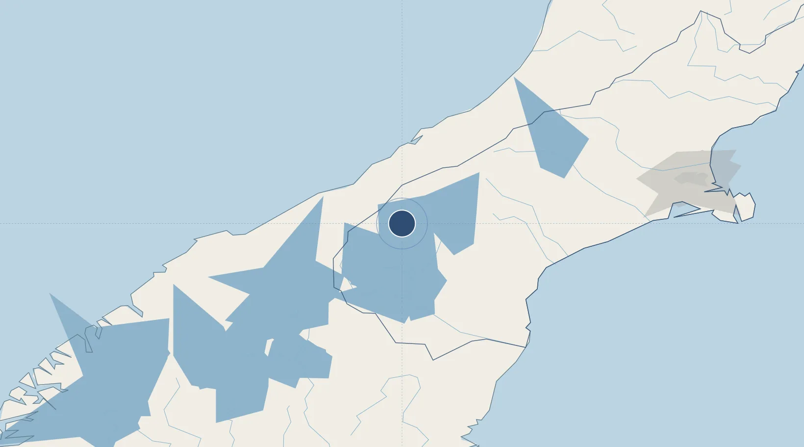
Location
Nearby Logistics Neighbours
Airports
- 1Mount Cook Airport16 km
- 2Pukaki Airport37 km
- 3Timaru Airport98 km
- 4Wanaka Airport115 km
- 5Oamaru Airport140 km
Cities
- 1Otematata80 km
- 2Timaru104 km
- 3Pareora108 km
- 4Glenavy136 km
- 5Pukeuri Junction144 km
Ports
- 1Timaru105 km
- 2Greymouth186 km
- 3Port Lyttelton211 km
- 4Otago Harbor216 km
- 5Akaroa228 km
Trade Zones
- 1Hicks Bay Area Special Economic Zone972 km
- 2Latrobe Valley Economic Growth Zone2079 km
- 3Rotuma-Kadavu Tax-Free Region2968 km
- 4Kalabu Tax Free Zone2975 km
- 5Nausori-Ba Tax-Free Region2983 km
DatabookThe Record of Consolidated Knowledge
New Zealand beyond logistics?