Large airport · New Zealand
Christchurch International AirportNZCH
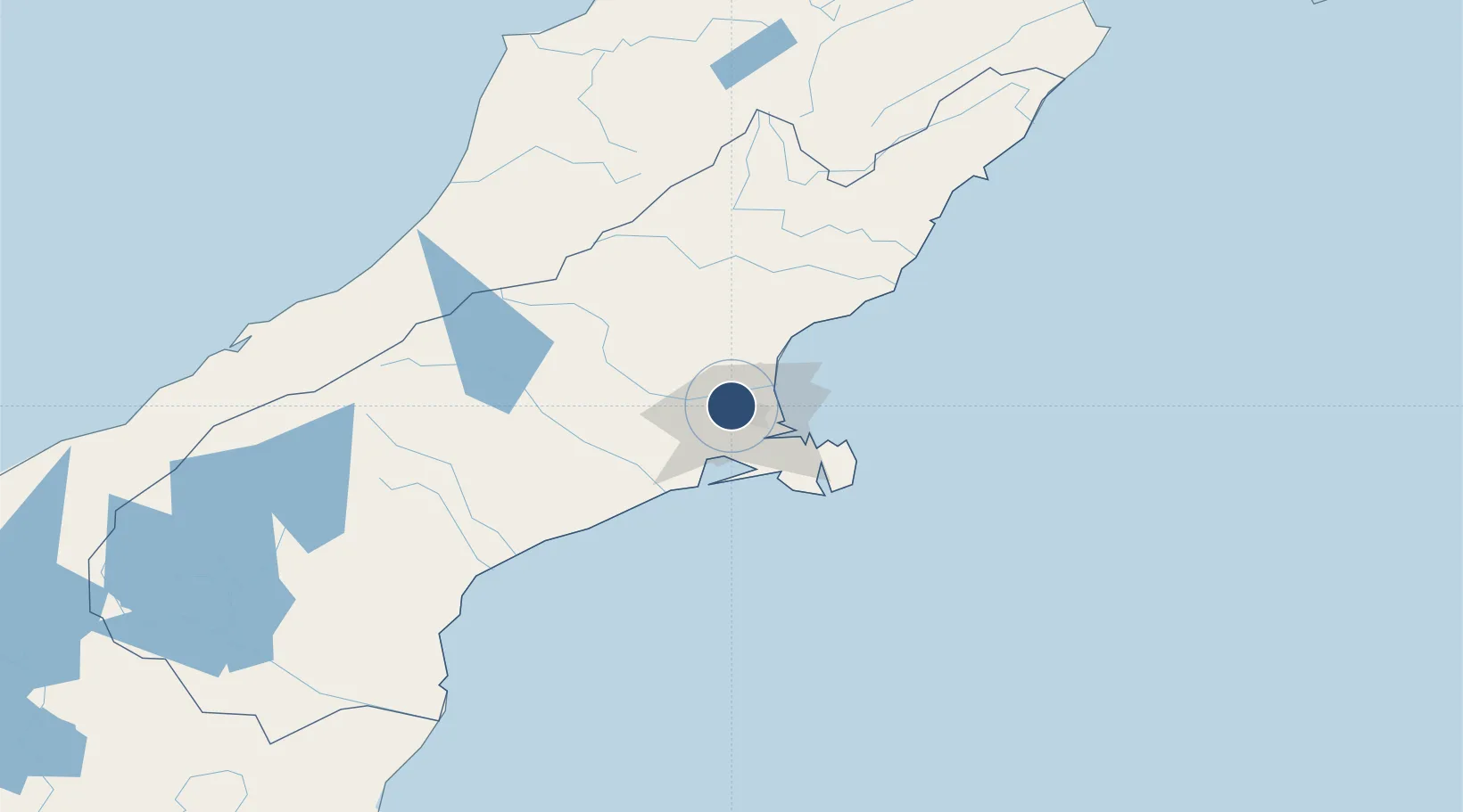
-43.4890°, 172.5321°
10,787 ft
Longest runway
3
Runways
123 ft
Elevation
Runway & Layout

Radio Frequencies
ATIS
127.2 MHz
TWR
118.4 MHz
GND
121.9 MHz
APP
124.1 MHz
CTRL
120.9 MHz
Control
Delivery
128.2 MHz
OPS
122.5 MHz
AMC OPS
Navaids
BU NDB Burnham 374 kHz
CH VOR-DME Christchurch 115.30 MHz
OD NDB Woodend 262 kHz
YW VOR-DME Eyrewell 116.60 MHz
Runways · 3
| Runway | Dimensions | Surface | True heading | Lit |
|---|---|---|---|---|
| 02/20 | 10,787 × 148ft | Asphalt | 041° | ✓ |
| 11/29 | 5,587 × 148ft | Bitumen | 131° | ✓ |
| 01/19 | 1,690 × 229ft | Grass | 038° | — |
Airport Specifications
IATA code
CHC
ICAO code
NZCH
Airport class
Large airport
Scheduled service
Yes
Runway surface
Asphalt
Served city
Christchurch
Location
Nearby Logistics Neighbours
Airports
- 1Timaru Airport138 km
- 2Hokitika Airfield152 km
- 3Mount Cook Airport196 km
- 4Glentanner Airport199 km
- 5Oamaru Airport201 km
Ports
- 1Port Lyttelton19 km
- 2Akaroa49 km
- 3Timaru144 km
- 4Greymouth159 km
- 5Westport208 km
Trade Zones
- 1Hicks Bay Area Special Economic Zone808 km
- 2Latrobe Valley Economic Growth Zone2264 km
- 3Rotuma-Kadavu Tax-Free Region2872 km
- 4Kalabu Tax Free Zone2879 km
- 5Nausori-Ba Tax-Free Region2887 km
DatabookThe Record of Consolidated Knowledge
New Zealand beyond logistics?