Transport Functions
Port
Road
Hub Profile
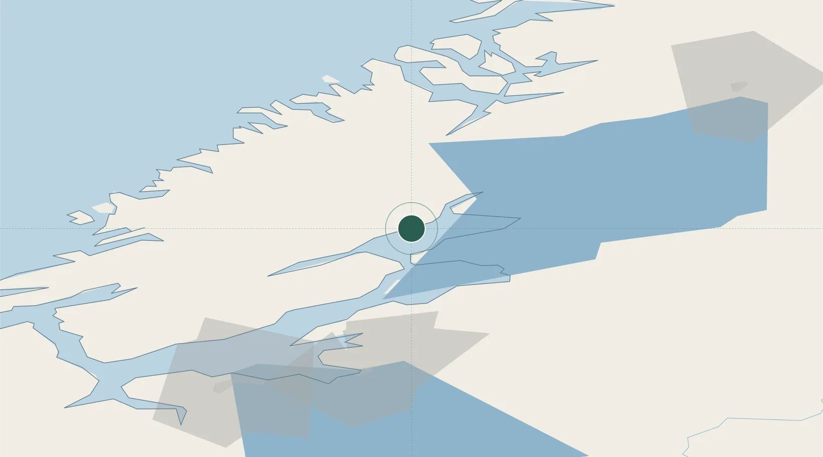
Place type
Populated place
Region
Trøndelag
Population
466
Time zone
Europe/Oslo
Elevation
60 m
Location
Nearby Logistics Neighbours
Ports
- 1Malm11 km
- 2Steinkjer19 km
- 3Levanger27 km
- 4Fiborgtangen30 km
- 5Langstein49 km
Airports
- 1Trondheim Airport, Værnes59 km
- 2Namsos Airport59 km
- 3Ørland Airport80 km
- 4Rørvik Airport, Ryum95 km
- 5Røros Airport157 km
Trade Zones
- 1Stockholm Free Zone634 km
- 2Gothenburg Boundless Customs Warehouse699 km
- 3Jönköping Free Zone710 km
- 4Freeport of Copenhagen- Nordhavn923 km
- 5Free port of Ventspils924 km
DatabookThe Record of Consolidated Knowledge
Norway beyond logistics?