Medium airport · Norway
Røros AirportENRO
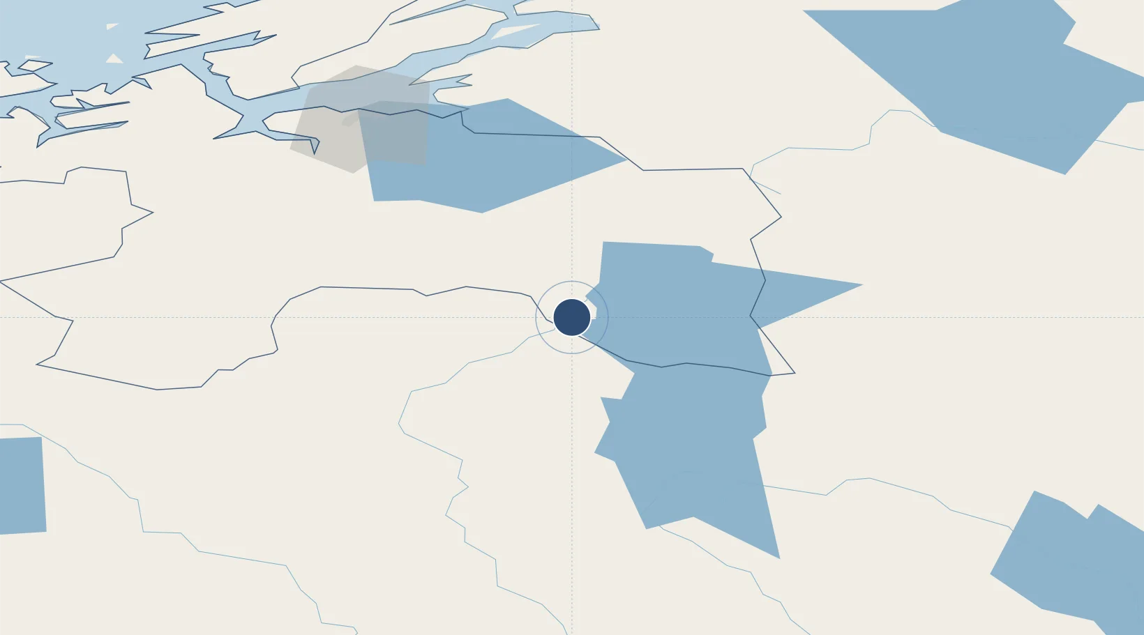
62.5784°, 11.3423°
5,643 ft
Longest runway
1
Runways
2,054 ft
Elevation
Runway & Layout

Radio Frequencies
TWR
120.4 MHz
Navaids
RBU NDB Rambu 352 kHz
Runways · 1
| Runway | Dimensions | Surface | True heading | Lit |
|---|---|---|---|---|
| 13/31 | 5,643 × 131ft | Asphalt | 136° | ✓ |
Airport Specifications
IATA code
RRS
ICAO code
ENRO
Airport class
Medium airport
Scheduled service
Yes
Runway surface
Asphalt
Served city
Røros
Location
Nearby Logistics Neighbours
Airports
- 1Trondheim Airport, Værnes100 km
- 2Ørland Airport152 km
- 3Sveg Airport170 km
- 4Åre Östersund Airport174 km
- 5Scandinavian Mountains Airport176 km
Ports
- 1Hommelvik97 km
- 2Muruvik99 km
- 3Trondheim108 km
- 4Langstein110 km
- 5Fiborgtangen127 km
Trade Zones
DatabookThe Record of Consolidated Knowledge
Norway beyond logistics?