UN/LOCODE hub · Norway
NOLEV

Levanger

63.7500°, 11.2833°
20,171
Population
3
Transport functions

Transport Functions

Port
Rail
Road
Levanger is also a profiled seaport →
UN/LOCODE

Hub Profile

Place type
Provincial seat
GeoNames
Region
Trøndelag
GeoNames
Population
20,171
GeoNames
Time zone
Europe/Oslo
GeoNames
Elevation
15 m
GeoNames

Location

Location of NOLEV
Natural Earth 10m (public domain) · Trøndelag · NOLEV · 63.75, 11.28GoogleOSMYandex

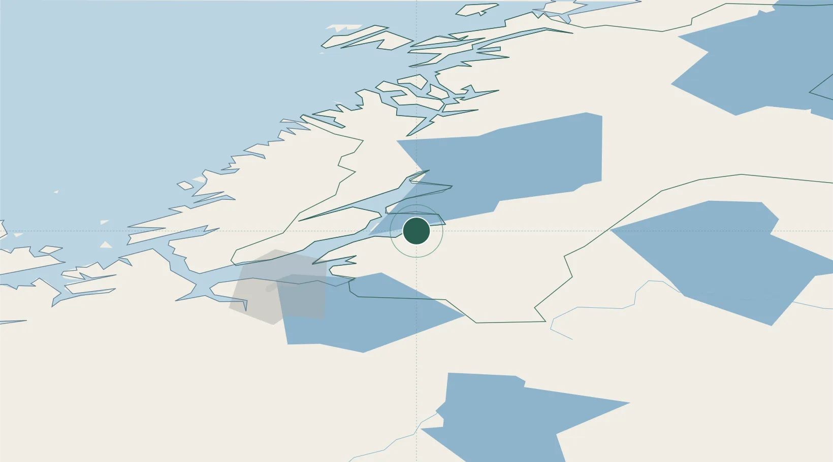
Nearby Logistics Neighbours

Cities
  1. 1Verdal8 km
  2. 2Skogn9 km
  3. 3Follafoss28 km
  4. 4Langstein30 km
  5. 5Steinkjer31 km
Nearest neighbours — logibook spatial index (haversine) over the source coordinates
Ports
  1. 1Fiborgtangen8 km
  2. 2Langstein30 km
  3. 3Steinkjer31 km
  4. 4Malm35 km
  5. 5Muruvik41 km
Nearest neighbours — logibook spatial index (haversine) over the source coordinates
Airports
  1. 1Trondheim Airport, Værnes37 km
  2. 2Namsos Airport82 km
  3. 3Ørland Airport83 km
  4. 4Rørvik Airport, Ryum121 km
  5. 5Røros Airport130 km
Nearest neighbours — logibook spatial index (haversine) over the source coordinates
Trade Zones
  1. 1Stockholm Free Zone608 km
  2. 2Gothenburg Boundless Customs Warehouse673 km
  3. 3Jönköping Free Zone682 km
  4. 4Freeport of Copenhagen- Nordhavn897 km
  5. 5Free port of Ventspils899 km
Nearest neighbours — logibook spatial index (haversine) over the source coordinates
DatabookThe Record of Consolidated Knowledge
Norway beyond logistics?
Browse databook

All Sources

LocationsUN/LOCODE
UN/LOCODE — free
LocationsGeoNames
CC BY 4.0
Portsthe NGA World Port Index
Public domain (US gov)
AirportsOurAirports
Public domain
Trade Zonesthe World Bank SEZ database
CC BY 4.0
Trade ZonesOpen Zone Map
CC BY
← Norway locations