Transport Functions
Port
Rail
Road
Hub Profile
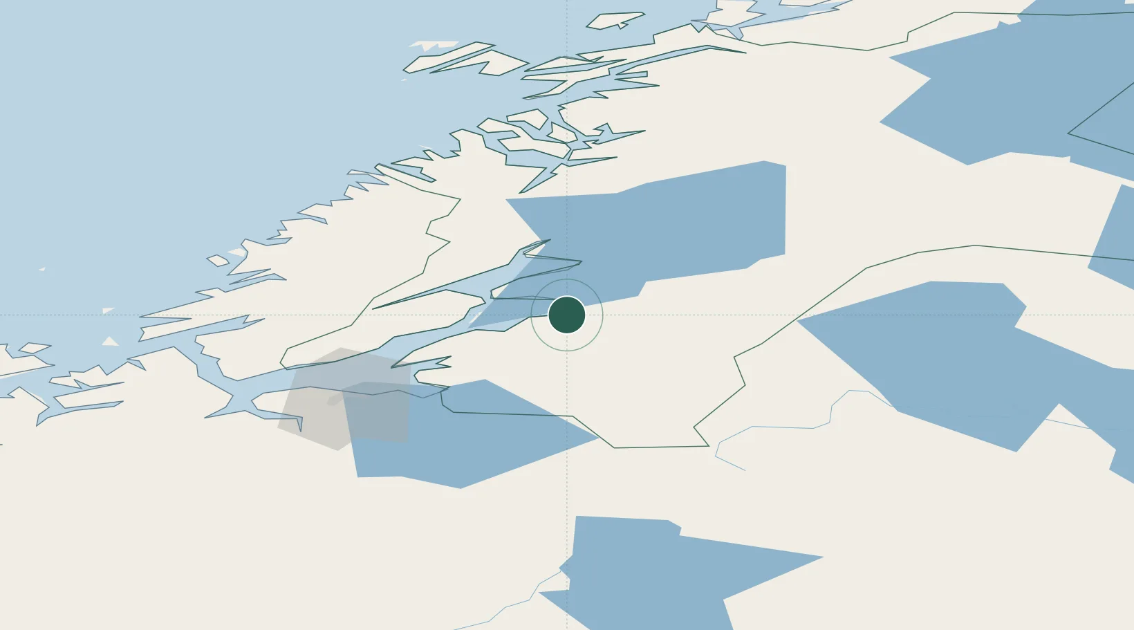
Place type
Provincial seat
Region
Trøndelag
Population
8,308
Time zone
Europe/Oslo
Elevation
11 m
Location
Nearby Logistics Neighbours
Ports
- 1Levanger8 km
- 2Fiborgtangen16 km
- 3Steinkjer25 km
- 4Malm33 km
- 5Langstein37 km
Airports
- 1Trondheim Airport, Værnes44 km
- 2Namsos Airport77 km
- 3Ørland Airport91 km
- 4Rørvik Airport, Ryum118 km
- 5Røros Airport134 km
Trade Zones
- 1Stockholm Free Zone606 km
- 2Gothenburg Boundless Customs Warehouse676 km
- 3Jönköping Free Zone684 km
- 4Free port of Ventspils896 km
- 5Freeport of Copenhagen- Nordhavn900 km
DatabookThe Record of Consolidated Knowledge
Norway beyond logistics?