UN/LOCODE hub · Norway
NOMLM

Malm

64.0667°, 11.2333°
1,268
Population
2
Transport functions

Transport Functions

Port
Road
Malm is also a profiled seaport →
UN/LOCODE

Hub Profile

Place type
Provincial seat
GeoNames
Region
Trøndelag
GeoNames
Population
1,268
GeoNames
Time zone
Europe/Oslo
GeoNames
Elevation
60 m
GeoNames

Location

Location of NOMLM
Natural Earth 10m (public domain) · Trøndelag · NOMLM · 64.07, 11.23GoogleOSMYandex

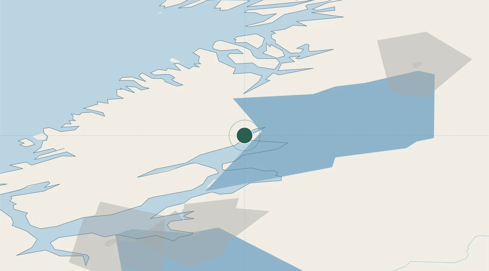
Nearby Logistics Neighbours

Cities
  1. 1Follafoss11 km
  2. 2Steinkjer13 km
  3. 3Verdal33 km
  4. 4Levanger35 km
  5. 5Skogn41 km
Nearest neighbours — logibook spatial index (haversine) over the source coordinates
Ports
  1. 1Steinkjer14 km
  2. 2Levanger35 km
  3. 3Fiborgtangen39 km
  4. 4Namsos46 km
  5. 5Langstein60 km
Nearest neighbours — logibook spatial index (haversine) over the source coordinates
Airports
  1. 1Namsos Airport48 km
  2. 2Trondheim Airport, Værnes69 km
  3. 3Rørvik Airport, Ryum86 km
  4. 4Ørland Airport90 km
  5. 5Brønnøysund Airport, Brønnøy162 km
Nearest neighbours — logibook spatial index (haversine) over the source coordinates
Trade Zones
  1. 1Stockholm Free Zone637 km
  2. 2Turku Free Zone695 km
  3. 3Gothenburg Boundless Customs Warehouse708 km
  4. 4Jönköping Free Zone717 km
  5. 5Freeport of Hanko768 km
Nearest neighbours — logibook spatial index (haversine) over the source coordinates
DatabookThe Record of Consolidated Knowledge
Norway beyond logistics?
Browse databook

All Sources

LocationsUN/LOCODE
UN/LOCODE — free
LocationsGeoNames
CC BY 4.0
Portsthe NGA World Port Index
Public domain (US gov)
AirportsOurAirports
Public domain
Trade Zonesthe World Bank SEZ database
CC BY 4.0
Trade ZonesOpen Zone Map
CC BY
← Norway locations