Transport Functions
Port
Rail
Road
Hub Profile
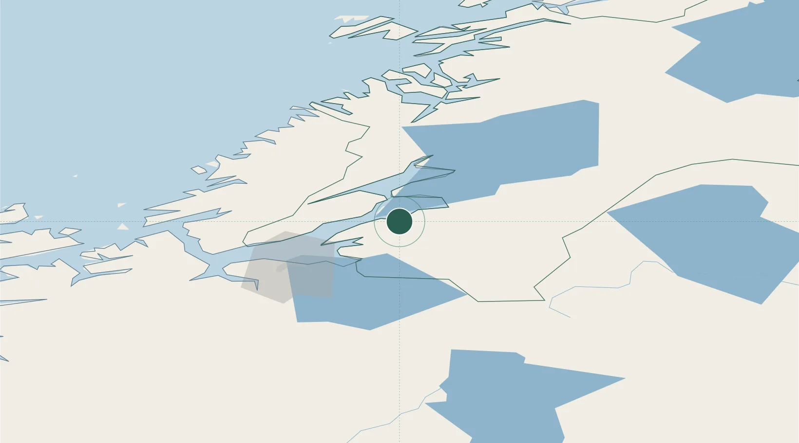
Place type
Populated place
Region
Trøndelag
Population
1,935
Time zone
Europe/Oslo
Elevation
73 m
Location
Nearby Logistics Neighbours
Airports
- 1Trondheim Airport, Værnes29 km
- 2Ørland Airport76 km
- 3Namsos Airport88 km
- 4Røros Airport125 km
- 5Rørvik Airport, Ryum127 km
Trade Zones
- 1Stockholm Free Zone608 km
- 2Gothenburg Boundless Customs Warehouse668 km
- 3Jönköping Free Zone679 km
- 4Freeport of Copenhagen- Nordhavn892 km
- 5Free port of Ventspils899 km
DatabookThe Record of Consolidated Knowledge
Norway beyond logistics?