UN/LOCODE hub · Norway
NOSTE

Steinkjer

64.0167°, 11.4833°
13,060
Population
3
Transport functions

Transport Functions

Port
Rail
Road
Steinkjer is also a profiled seaport →
UN/LOCODE

Hub Profile

Place type
Regional capital
GeoNames
Region
Trøndelag
GeoNames
Population
13,060
GeoNames
Time zone
Europe/Oslo
GeoNames
Elevation
20 m
GeoNames

Location

Location of NOSTE
Natural Earth 10m (public domain) · Trøndelag · NOSTE · 64.02, 11.48GoogleOSMYandex

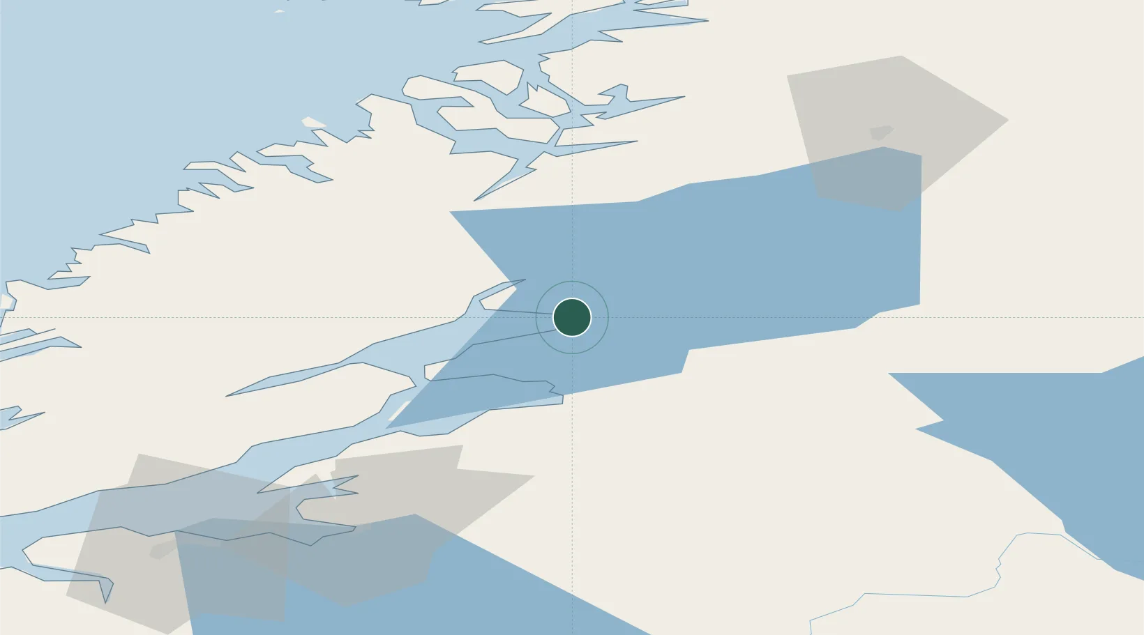
Nearby Logistics Neighbours

Cities
  1. 1Malm13 km
  2. 2Follafoss19 km
  3. 3Verdal26 km
  4. 4Levanger31 km
  5. 5Skogn39 km
Nearest neighbours — logibook spatial index (haversine) over the source coordinates
Ports
  1. 1Malm14 km
  2. 2Levanger31 km
  3. 3Fiborgtangen37 km
  4. 4Namsos49 km
  5. 5Langstein60 km
Nearest neighbours — logibook spatial index (haversine) over the source coordinates
Airports
  1. 1Namsos Airport51 km
  2. 2Trondheim Airport, Værnes68 km
  3. 3Rørvik Airport, Ryum93 km
  4. 4Ørland Airport99 km
  5. 5Røros Airport160 km
Nearest neighbours — logibook spatial index (haversine) over the source coordinates
Trade Zones
  1. 1Stockholm Free Zone625 km
  2. 2Turku Free Zone682 km
  3. 3Gothenburg Boundless Customs Warehouse702 km
  4. 4Jönköping Free Zone709 km
  5. 5Freeport of Hanko755 km
Nearest neighbours — logibook spatial index (haversine) over the source coordinates
DatabookThe Record of Consolidated Knowledge
Norway beyond logistics?
Browse databook

All Sources

LocationsUN/LOCODE
UN/LOCODE — free
LocationsGeoNames
CC BY 4.0
Portsthe NGA World Port Index
Public domain (US gov)
AirportsOurAirports
Public domain
Trade Zonesthe World Bank SEZ database
CC BY 4.0
Trade ZonesOpen Zone Map
CC BY
← Norway locations