Channel & Berth Profile
Facilities & Capabilities
Container—
Ro-Ro—
Liquid bulk—
Dry bulk—
Oil terminal—
Break bulk—
Dry dock—
Repairs—
Bunkering—
Rail linkYES
Dangerous cargo—
ISPS security—
Harbour Specifications
Harbour size
Very Small
Harbour type
Coastal (Natural)
Shelter
Good
Water body
Norwegian Sea; North Atlantic Ocean
Overhead limit
No
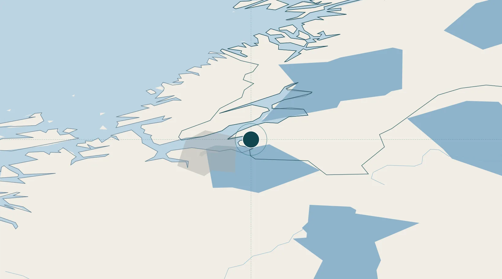
Location
Nearby Logistics Neighbours
Ports
- 1Muruvik12 km
- 2Hommelvik15 km
- 3Fiborgtangen23 km
- 4Trondheim27 km
- 5Levanger30 km
Airports
- 1Trondheim Airport, Værnes10 km
- 2Ørland Airport66 km
- 3Namsos Airport108 km
- 4Røros Airport110 km
- 5Rørvik Airport, Ryum144 km
Trade Zones
DatabookThe Record of Consolidated Knowledge
Norway beyond logistics?