Transport Functions
Port
Road
Hub Profile
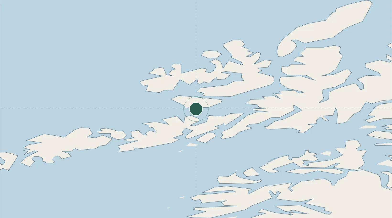
Place type
Populated place
Region
Nordland
Population
2,257
Time zone
Europe/Oslo
Elevation
10 m
Location
Nearby Logistics Neighbours
Cities
- 1Fiskebøl6 km
- 2Stokmarknes10 km
- 3Liland17 km
- 4Laukvik19 km
- 5Steinesjøen19 km
Ports
- 1Stokkmarknes10 km
- 2Brettesnes28 km
- 3Svolvaer29 km
- 4Sortland35 km
- 5Skrova Havn36 km
Airports
- 1Stokmarknes Airport, Skagen14 km
- 2Svolvær Airport, Helle27 km
- 3Leknes Airport61 km
- 4Harstad/Narvik Airport77 km
- 5Andøya Airport, Andenes105 km
Trade Zones
- 1Oulu Port Free Warehouse Area605 km
- 2Turku Free Zone960 km
- 3Stockholm Free Zone1028 km
- 4Freeport of Hanko1037 km
- 5Port of Hamina-Kotka1060 km
DatabookThe Record of Consolidated Knowledge
Norway beyond logistics?