UN/LOCODE hub · Norway
NOFBL

Fiskebøl

68.4333°, 14.8167°
1
Transport functions

Transport Functions

Port
UN/LOCODE

Hub Profile

Region
18
GeoNames

Location

Location of NOFBL
Natural Earth 10m (public domain) · 18 · NOFBL · 68.43, 14.82GoogleOSMYandex

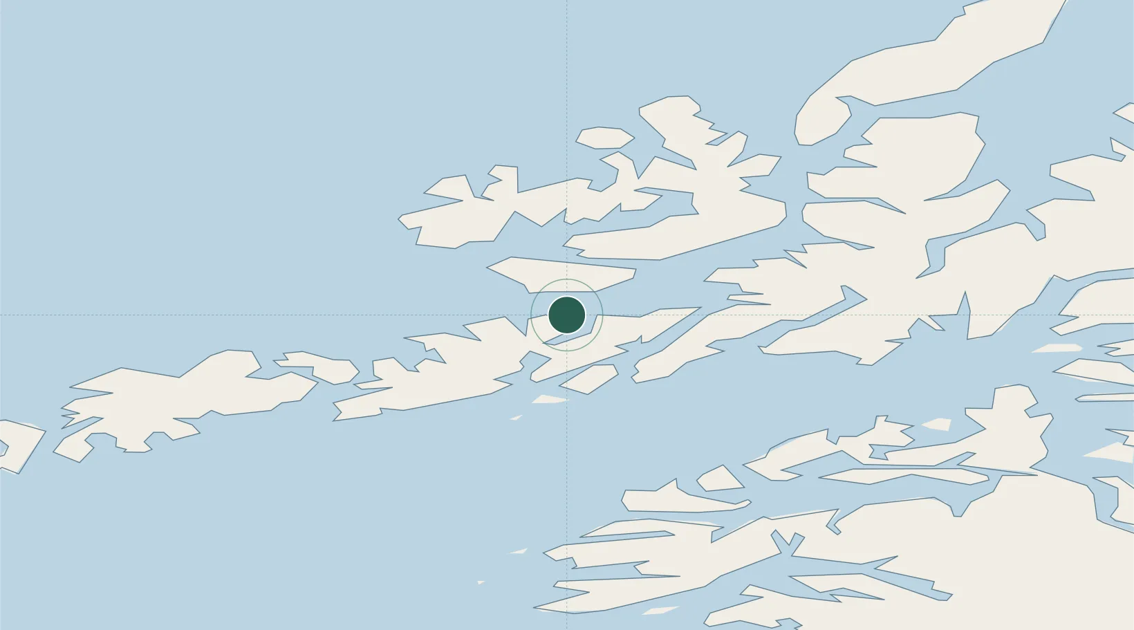
Nearby Logistics Neighbours

Cities
  1. 1Melbu6 km
  2. 2Liland11 km
  3. 3Stokmarknes15 km
  4. 4Laukvik17 km
  5. 5Brettesnes22 km
Nearest neighbours — logibook spatial index (haversine) over the source coordinates
Ports
  1. 1Stokkmarknes15 km
  2. 2Brettesnes22 km
  3. 3Svolvaer24 km
  4. 4Skrova Havn30 km
  5. 5Sortland38 km
Nearest neighbours — logibook spatial index (haversine) over the source coordinates
Airports
  1. 1Stokmarknes Airport, Skagen18 km
  2. 2Svolvær Airport, Helle22 km
  3. 3Leknes Airport59 km
  4. 4Harstad/Narvik Airport76 km
  5. 5Andøya Airport, Andenes110 km
Nearest neighbours — logibook spatial index (haversine) over the source coordinates
Trade Zones
  1. 1Oulu Port Free Warehouse Area601 km
  2. 2Turku Free Zone955 km
  3. 3Stockholm Free Zone1023 km
  4. 4Freeport of Hanko1032 km
  5. 5Port of Hamina-Kotka1055 km
Nearest neighbours — logibook spatial index (haversine) over the source coordinates
DatabookThe Record of Consolidated Knowledge
Norway beyond logistics?
Browse databook

All Sources

LocationsUN/LOCODE
UN/LOCODE — free
Portsthe NGA World Port Index
Public domain (US gov)
AirportsOurAirports
Public domain
Trade Zonesthe World Bank SEZ database
CC BY 4.0
Trade ZonesOpen Zone Map
CC BY
← Norway locations