Transport Functions
Port
Road
Hub Profile
Place type
Populated place
Region
Nordland
Time zone
Europe/Oslo
Elevation
3 m
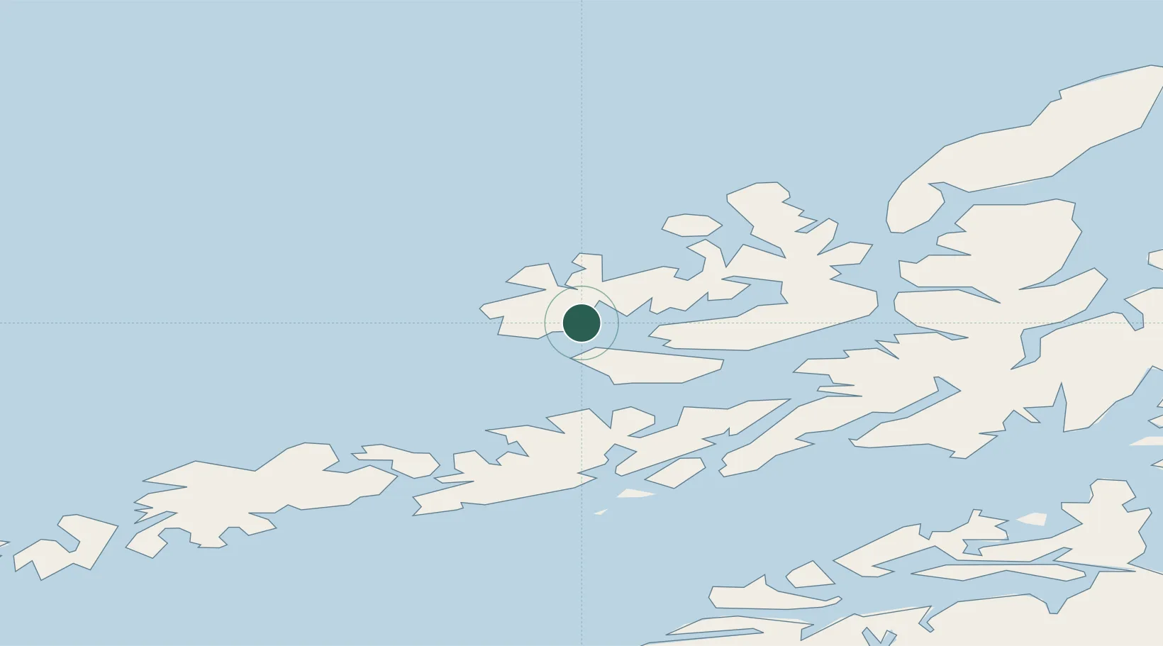
Location
Nearby Logistics Neighbours
Cities
- 1Straumsjøen9 km
- 2Steinesjøen9 km
- 3Eidet10 km
- 4Kobbvågen10 km
- 5Stokmarknes14 km
Ports
- 1Stokkmarknes15 km
- 2Sortland32 km
- 3Svolvaer46 km
- 4Brettesnes47 km
- 5Skrova Havn54 km
Airports
- 1Stokmarknes Airport, Skagen18 km
- 2Svolvær Airport, Helle45 km
- 3Leknes Airport69 km
- 4Harstad/Narvik Airport85 km
- 5Andøya Airport, Andenes94 km
Trade Zones
- 1Oulu Port Free Warehouse Area621 km
- 2Turku Free Zone980 km
- 3Stockholm Free Zone1048 km
- 4Freeport of Hanko1057 km
- 5Port of Hamina-Kotka1079 km
DatabookThe Record of Consolidated Knowledge
Norway beyond logistics?