Channel & Berth Profile
Facilities & Capabilities
ContainerNO
Ro-RoNO
Liquid bulkNO
Dry bulkNO
Oil terminalNO
Break bulkYES
Dry dock—
Repairs—
Bunkering—
Rail link—
Dangerous cargo—
ISPS security—
Harbour Specifications
Water body
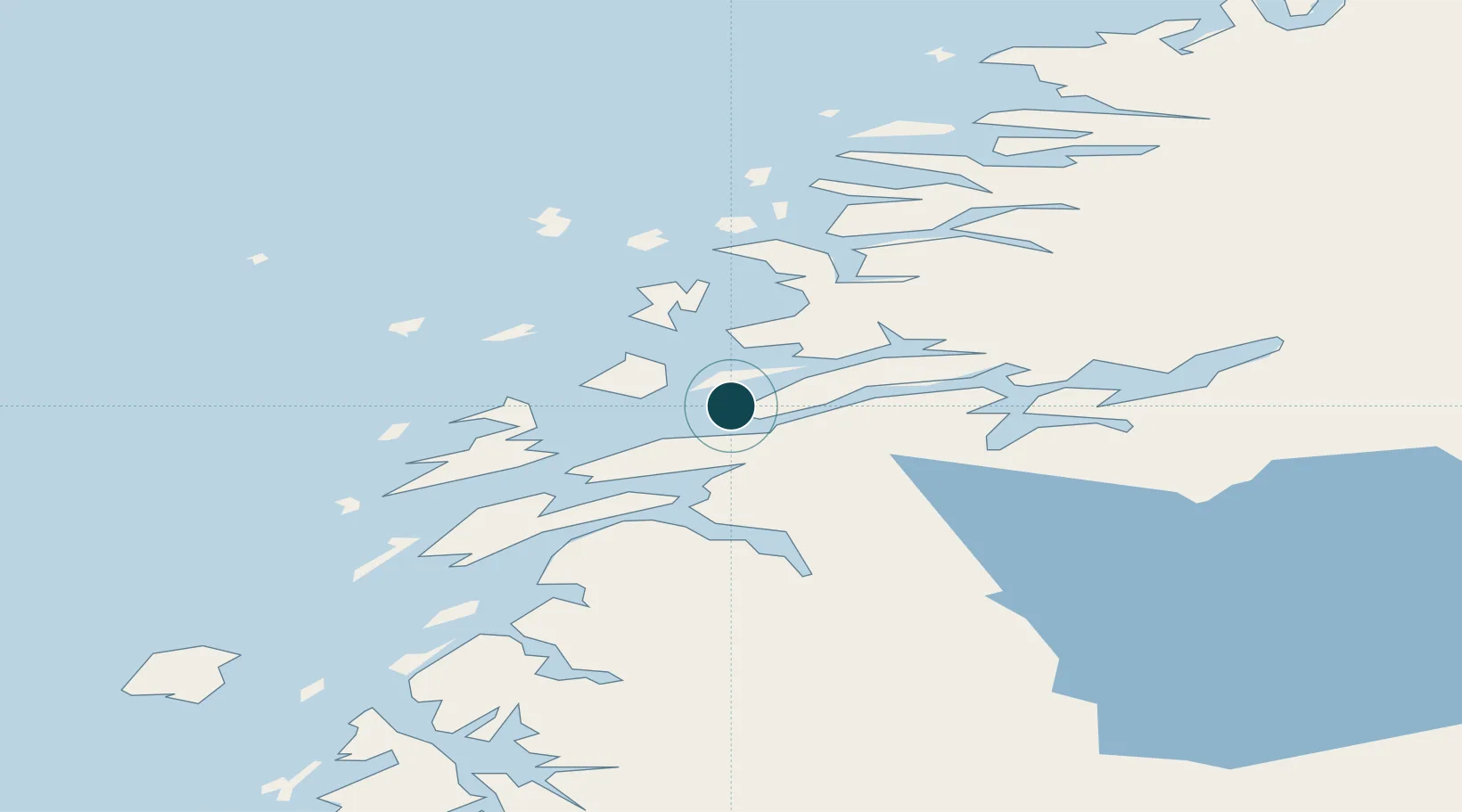
Norwegian Sea; North Atlantic Ocean
Location
Nearby Logistics Neighbours
Ports
- 1Sandnessjoen26 km
- 2Hemnesberget27 km
- 3Mosjoen39 km
- 4Tjotta50 km
- 5Mo I Rana52 km
Cities
- 1Vikholmen2 km
- 2Austvika10 km
- 3Stokkvågen15 km
- 4Leirfjord17 km
- 5Lurøy25 km
Airports
- 1Sandnessjøen Airport, Stokka37 km
- 2Mosjøen Airport, Kjærstad47 km
- 3Mo i Rana Airport, Røssvoll61 km
- 4Brønnøysund Airport, Brønnøy90 km
- 5Hemavan Airport104 km
Trade Zones
- 1Oulu Port Free Warehouse Area584 km
- 2Turku Free Zone786 km
- 3Stockholm Free Zone804 km
- 4Freeport of Hanko864 km
- 5Jönköping Free Zone940 km
DatabookThe Record of Consolidated Knowledge
Norway beyond logistics?