Channel & Berth Profile
Pilotage, Tugs & Services
Pilotage advisableYES
Local assistanceYES
Facilities & Capabilities
Container—
Ro-Ro—
Liquid bulk—
Dry bulk—
Oil terminal—
Break bulk—
Dry dock—
Repairs—
Bunkering—
Rail link—
Dangerous cargo—
ISPS security—
Harbour Specifications
Harbour size
Very Small
Harbour type
Coastal (Natural)
Shelter
Fair
Water body
Norwegian Sea; North Atlantic Ocean
Overhead limit
No
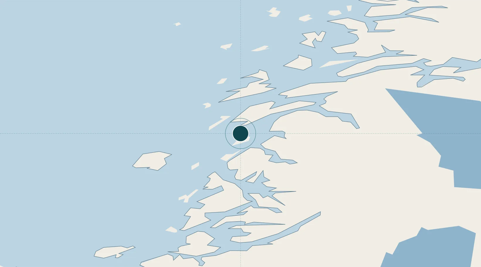
Location
Nearby Logistics Neighbours
Ports
- 1Sandnessjoen25 km
- 2Mosjoen34 km
- 3Bronnoysund41 km
- 4Nesna50 km
- 5Berg52 km
Cities
- 1Herøy19 km
- 2Igerøy21 km
- 3Botn - Sandnessjøen22 km
- 4Sandnessjøen24 km
- 5Vega28 km
Airports
- 1Sandnessjøen Airport, Stokka15 km
- 2Mosjøen Airport, Kjærstad36 km
- 3Brønnøysund Airport, Brønnøy41 km
- 4Mo i Rana Airport, Røssvoll104 km
- 5Hemavan Airport121 km
Trade Zones
- 1Turku Free Zone772 km
- 2Stockholm Free Zone776 km
- 3Freeport of Hanko850 km
- 4Jönköping Free Zone900 km
- 5Gothenburg Boundless Customs Warehouse903 km
DatabookThe Record of Consolidated Knowledge
Norway beyond logistics?