UN/LOCODE hub · Norway
NOLUR

Lurøy

66.4167°, 12.8333°
1
Transport functions

Transport Functions

Port
UN/LOCODE

Hub Profile

Region
18
GeoNames

Location

Location of NOLUR
Natural Earth 10m (public domain) · 18 · NOLUR · 66.42, 12.83GoogleOSMYandex

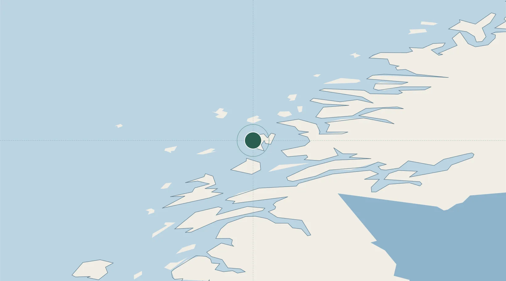
Nearby Logistics Neighbours

Cities
  1. 1Stokkvågen12 km
  2. 2Tonnes13 km
  3. 3Lovund21 km
  4. 4Vikholmen25 km
  5. 5Nesna25 km
Nearest neighbours — logibook spatial index (haversine) over the source coordinates
Ports
  1. 1Nesna25 km
  2. 2Hemnesberget41 km
  3. 3Sandnessjoen44 km
  4. 4Mo I Rana58 km
  5. 5Ornes63 km
Nearest neighbours — logibook spatial index (haversine) over the source coordinates
Airports
  1. 1Sandnessjøen Airport, Stokka54 km
  2. 2Mo i Rana Airport, Røssvoll66 km
  3. 3Mosjøen Airport, Kjærstad72 km
  4. 4Brønnøysund Airport, Brønnøy110 km
  5. 5Bodø Airport116 km
Nearest neighbours — logibook spatial index (haversine) over the source coordinates
Trade Zones
  1. 1Oulu Port Free Warehouse Area596 km
  2. 2Turku Free Zone810 km
  3. 3Stockholm Free Zone830 km
  4. 4Freeport of Hanko888 km
  5. 5Jönköping Free Zone964 km
Nearest neighbours — logibook spatial index (haversine) over the source coordinates
DatabookThe Record of Consolidated Knowledge
Norway beyond logistics?
Browse databook

All Sources

LocationsUN/LOCODE
UN/LOCODE — free
Portsthe NGA World Port Index
Public domain (US gov)
AirportsOurAirports
Public domain
Trade Zonesthe World Bank SEZ database
CC BY 4.0
Trade ZonesOpen Zone Map
CC BY
← Norway locations