Seaport · Norway

MosjoenNOMJF

65.8589°, 13.1708°
4.9 m
Channel depth
11.6
Port liner connectivity
Mosjoen is also a UN/LOCODE logistics hub →

Channel & Berth Profile

SEA LEVEL (CD)CHANNEL BEDChannel · 4.9 mCargo pier · 4.9 mOil terminal · 4.9 mAnchorage · 9.4 m
NGA World Port Index

Pilotage, Tugs & Services

Pilotage availableYES
Tug assistanceYES
Shore powerYES
Potable waterYES
Diesel bunkersYES
MedicalYES
Garbage disposalYES
NGA World Port Index

Facilities & Capabilities

ContainerYES
Ro-RoNO
Liquid bulkYES
Dry bulkYES
Oil terminal
Break bulkYES
Dry dock
RepairsNO
BunkeringYES
Rail linkYES
Dangerous cargo
ISPS security
NGA World Port Index

Harbour Specifications

Harbour size
Very Small
NGA World Port Index
Harbour type
River (Natural)
NGA World Port Index
Shelter
Excellent
NGA World Port Index
Water body
Norwegian Sea; North Atlantic Ocean
NGA World Port Index
Tidal range
2 m
NGA World Port Index
Overhead limit
Yes
NGA World Port Index

Liner Connectivity

11.6
PLSCI

Port Liner Shipping Connectivity Index for Mosjoen, as published by UNCTAD for the latest available quarter. Higher values indicate stronger scheduled liner-shipping integration.

Shown relative to the highest per-port PLSCI in the dataset (1,657.9).
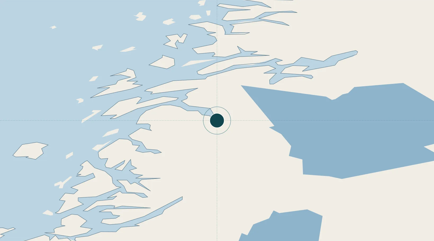
UNCTAD · Port Liner Shipping Connectivity Index

Location

Location of NOMJF
Natural Earth 10m (public domain) · Nordland · NOMJF · 65.86, 13.17GoogleOSMYandex

Nearby Logistics Neighbours

Ports
  1. 1Sandnessjoen31 km
  2. 2Tjotta34 km
  3. 3Nesna39 km
  4. 4Hemnesberget46 km
  5. 5Bronnoysund62 km
Nearest neighbours — logibook spatial index (haversine) over the source coordinates
Cities
  1. 1Leirfjord24 km
  2. 2Botn - Sandnessjøen28 km
  3. 3Sandnessjøen30 km
  4. 4Tjøtta34 km
  5. 5Seljeli36 km
Nearest neighbours — logibook spatial index (haversine) over the source coordinates
Airports
  1. 1Mosjøen Airport, Kjærstad9 km
  2. 2Sandnessjøen Airport, Stokka34 km
  3. 3Brønnøysund Airport, Brønnøy62 km
  4. 4Mo i Rana Airport, Røssvoll76 km
  5. 5Hemavan Airport87 km
Nearest neighbours — logibook spatial index (haversine) over the source coordinates
Trade Zones
  1. 1Turku Free Zone753 km
  2. 2Stockholm Free Zone766 km
  3. 3Freeport of Hanko830 km
  4. 4Jönköping Free Zone901 km
  5. 5Gothenburg Boundless Customs Warehouse909 km
Nearest neighbours — logibook spatial index (haversine) over the source coordinates
DatabookThe Record of Consolidated Knowledge
Norway beyond logistics?
Browse databook

All Sources

Portsthe NGA World Port Index
Public domain (US gov)
Logistics performanceUNCTAD
CC BY 3.0 IGO
AirportsOurAirports
Public domain
LocationsUN/LOCODE
UN/LOCODE — free
Trade Zonesthe World Bank SEZ database
CC BY 4.0
Trade ZonesOpen Zone Map
CC BY
← Norway ports