UN/LOCODE hub · Norway
NONSN

Nesna

66.2000°, 13.0167°
1,211
Population
1
Transport functions

Transport Functions

Port
Nesna is also a profiled seaport →
UN/LOCODE

Hub Profile

Place type
Provincial seat
GeoNames
Region
Nordland
GeoNames
Population
1,211
GeoNames
Time zone
Europe/Oslo
GeoNames
Elevation
12 m
GeoNames

Location

Location of NONSN
Natural Earth 10m (public domain) · Nordland · NONSN · 66.20, 13.02GoogleOSMYandex

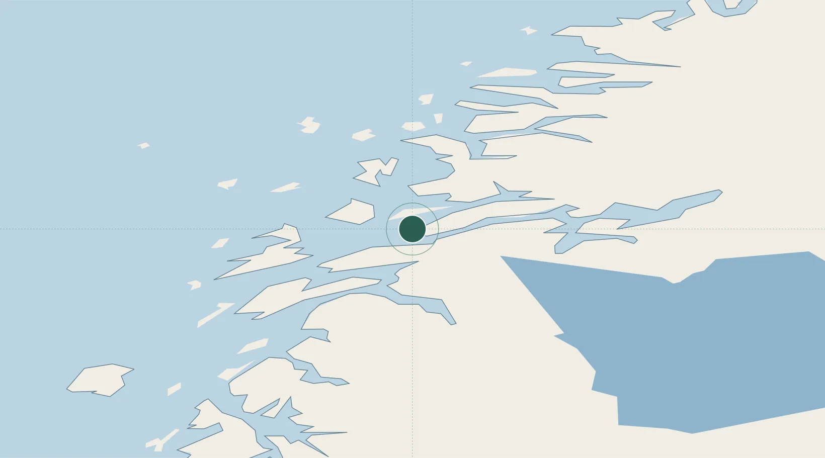
Nearby Logistics Neighbours

Cities
  1. 1Vikholmen2 km
  2. 2Austvika10 km
  3. 3Stokkvågen15 km
  4. 4Leirfjord17 km
  5. 5Lurøy25 km
Nearest neighbours — logibook spatial index (haversine) over the source coordinates
Ports
  1. 1Sandnessjoen26 km
  2. 2Hemnesberget27 km
  3. 3Mosjoen39 km
  4. 4Tjotta50 km
  5. 5Mo I Rana51 km
Nearest neighbours — logibook spatial index (haversine) over the source coordinates
Airports
  1. 1Sandnessjøen Airport, Stokka37 km
  2. 2Mosjøen Airport, Kjærstad47 km
  3. 3Mo i Rana Airport, Røssvoll60 km
  4. 4Brønnøysund Airport, Brønnøy90 km
  5. 5Hemavan Airport103 km
Nearest neighbours — logibook spatial index (haversine) over the source coordinates
Trade Zones
  1. 1Oulu Port Free Warehouse Area584 km
  2. 2Turku Free Zone786 km
  3. 3Stockholm Free Zone804 km
  4. 4Freeport of Hanko864 km
  5. 5Jönköping Free Zone939 km
Nearest neighbours — logibook spatial index (haversine) over the source coordinates
DatabookThe Record of Consolidated Knowledge
Norway beyond logistics?
Browse databook

All Sources

LocationsUN/LOCODE
UN/LOCODE — free
LocationsGeoNames
CC BY 4.0
Portsthe NGA World Port Index
Public domain (US gov)
AirportsOurAirports
Public domain
Trade Zonesthe World Bank SEZ database
CC BY 4.0
Trade ZonesOpen Zone Map
CC BY
← Norway locations