Transport Functions
Port
Hub Profile
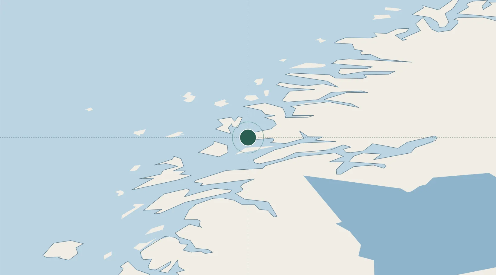
Place type
Populated place
Region
Nordland
Time zone
Europe/Oslo
Elevation
40 m
Location
Nearby Logistics Neighbours
Ports
- 1Nesna15 km
- 2Hemnesberget30 km
- 3Sandnessjoen38 km
- 4Mo I Rana50 km
- 5Mosjoen53 km
Airports
- 1Sandnessjøen Airport, Stokka48 km
- 2Mo i Rana Airport, Røssvoll58 km
- 3Mosjøen Airport, Kjærstad62 km
- 4Brønnøysund Airport, Brønnøy103 km
- 5Hemavan Airport111 km
Trade Zones
- 1Oulu Port Free Warehouse Area587 km
- 2Turku Free Zone798 km
- 3Stockholm Free Zone818 km
- 4Freeport of Hanko876 km
- 5Jönköping Free Zone954 km
DatabookThe Record of Consolidated Knowledge
Norway beyond logistics?