UN/LOCODE hub · Norway
NOAUS

Austvika

66.1833°, 13.2333°
1
Transport functions

Transport Functions

Port
UN/LOCODE

Hub Profile

Region
18
GeoNames

Location

Location of NOAUS
Natural Earth 10m (public domain) · 18 · NOAUS · 66.18, 13.23GoogleOSMYandex

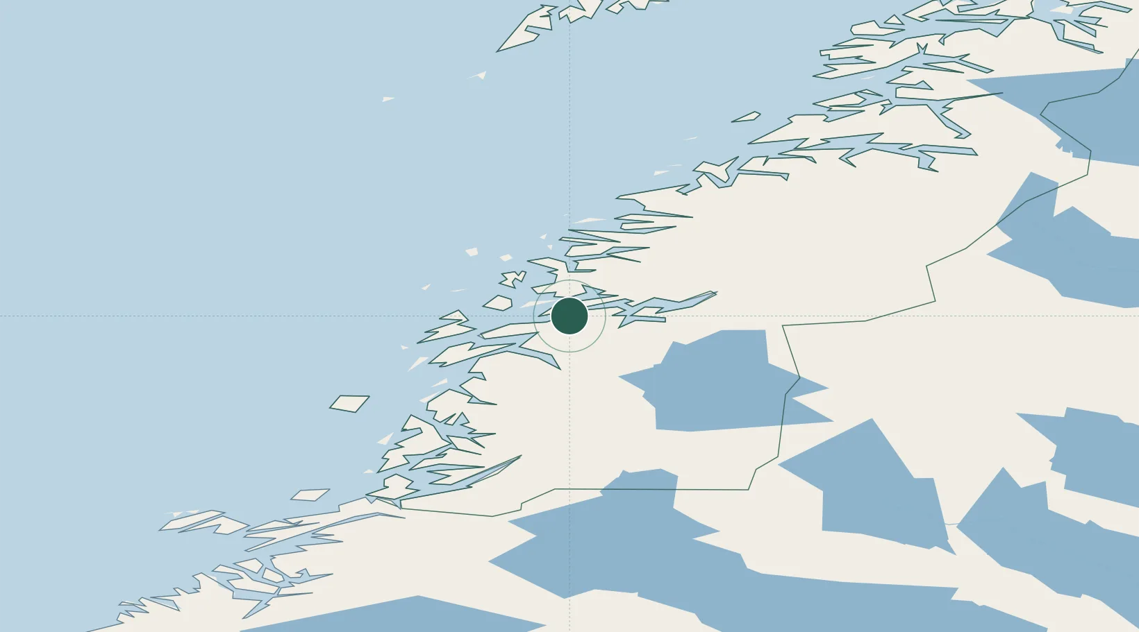
Nearby Logistics Neighbours

Cities
  1. 1Nesna10 km
  2. 2Vikholmen12 km
  3. 3Seljeli17 km
  4. 4Hemnesberget19 km
  5. 5Leirfjord20 km
Nearest neighbours — logibook spatial index (haversine) over the source coordinates
Ports
  1. 1Nesna10 km
  2. 2Hemnesberget18 km
  3. 3Sandnessjoen32 km
  4. 4Mosjoen36 km
  5. 5Mo I Rana43 km
Nearest neighbours — logibook spatial index (haversine) over the source coordinates
Airports
  1. 1Sandnessjøen Airport, Stokka43 km
  2. 2Mosjøen Airport, Kjærstad44 km
  3. 3Mo i Rana Airport, Røssvoll52 km
  4. 4Brønnøysund Airport, Brønnøy93 km
  5. 5Hemavan Airport94 km
Nearest neighbours — logibook spatial index (haversine) over the source coordinates
Trade Zones
  1. 1Oulu Port Free Warehouse Area574 km
  2. 2Turku Free Zone778 km
  3. 3Stockholm Free Zone799 km
  4. 4Freeport of Hanko856 km
  5. 5Jönköping Free Zone937 km
Nearest neighbours — logibook spatial index (haversine) over the source coordinates
DatabookThe Record of Consolidated Knowledge
Norway beyond logistics?
Browse databook

All Sources

LocationsUN/LOCODE
UN/LOCODE — free
Portsthe NGA World Port Index
Public domain (US gov)
AirportsOurAirports
Public domain
Trade Zonesthe World Bank SEZ database
CC BY 4.0
Trade ZonesOpen Zone Map
CC BY
← Norway locations