Transport Functions
Port
Hub Profile
Place type
Populated place
Region
Nordland
Time zone
Europe/Oslo
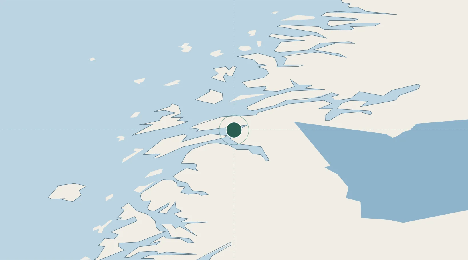
Location
Nearby Logistics Neighbours
Cities
- 1Botn - Sandnessjøen15 km
- 2Sandnessjøen15 km
- 3Vikholmen17 km
- 4Nesna17 km
- 5Austvika20 km
Ports
- 1Sandnessjoen15 km
- 2Nesna17 km
- 3Mosjoen24 km
- 4Tjotta35 km
- 5Hemnesberget36 km
Airports
- 1Sandnessjøen Airport, Stokka24 km
- 2Mosjøen Airport, Kjærstad32 km
- 3Mo i Rana Airport, Røssvoll70 km
- 4Brønnøysund Airport, Brønnøy74 km
- 5Hemavan Airport101 km
Trade Zones
- 1Oulu Port Free Warehouse Area585 km
- 2Turku Free Zone775 km
- 3Stockholm Free Zone790 km
- 4Freeport of Hanko853 km
- 5Jönköping Free Zone923 km
DatabookThe Record of Consolidated Knowledge
Norway beyond logistics?