Channel & Berth Profile
Pilotage, Tugs & Services
Pilotage advisableYES
Tug assistanceYES
Potable waterYES
MedicalYES
Facilities & Capabilities
ContainerYES
Ro-RoYES
Liquid bulkYES
Dry bulkYES
Oil terminal—
Break bulkYES
Dry dock—
RepairsNO
BunkeringYES
Rail link—
Dangerous cargo—
ISPS security—
Harbour Specifications
Harbour size
Very Small
Harbour type
Coastal (Natural)
Shelter
Fair
Water body
Norwegian Sea; North Atlantic Ocean
Overhead limit
No
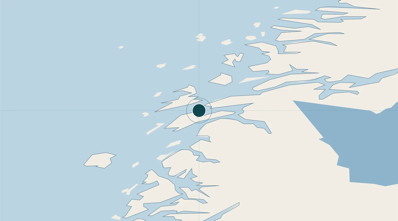
Location
Nearby Logistics Neighbours
Ports
- 1Tjotta25 km
- 2Nesna26 km
- 3Mosjoen31 km
- 4Hemnesberget50 km
- 5Bronnoysund65 km
Cities
- 1Botn - Sandnessjøen3 km
- 2Leirfjord15 km
- 3Herøy16 km
- 4Vikholmen25 km
- 5Tjøtta25 km
Airports
- 1Sandnessjøen Airport, Stokka11 km
- 2Mosjøen Airport, Kjærstad38 km
- 3Brønnøysund Airport, Brønnøy66 km
- 4Mo i Rana Airport, Røssvoll84 km
- 5Hemavan Airport114 km
Trade Zones
- 1Oulu Port Free Warehouse Area599 km
- 2Turku Free Zone783 km
- 3Stockholm Free Zone793 km
- 4Freeport of Hanko860 km
- 5Jönköping Free Zone922 km
DatabookThe Record of Consolidated Knowledge
Norway beyond logistics?