Transport Functions
Port
Hub Profile
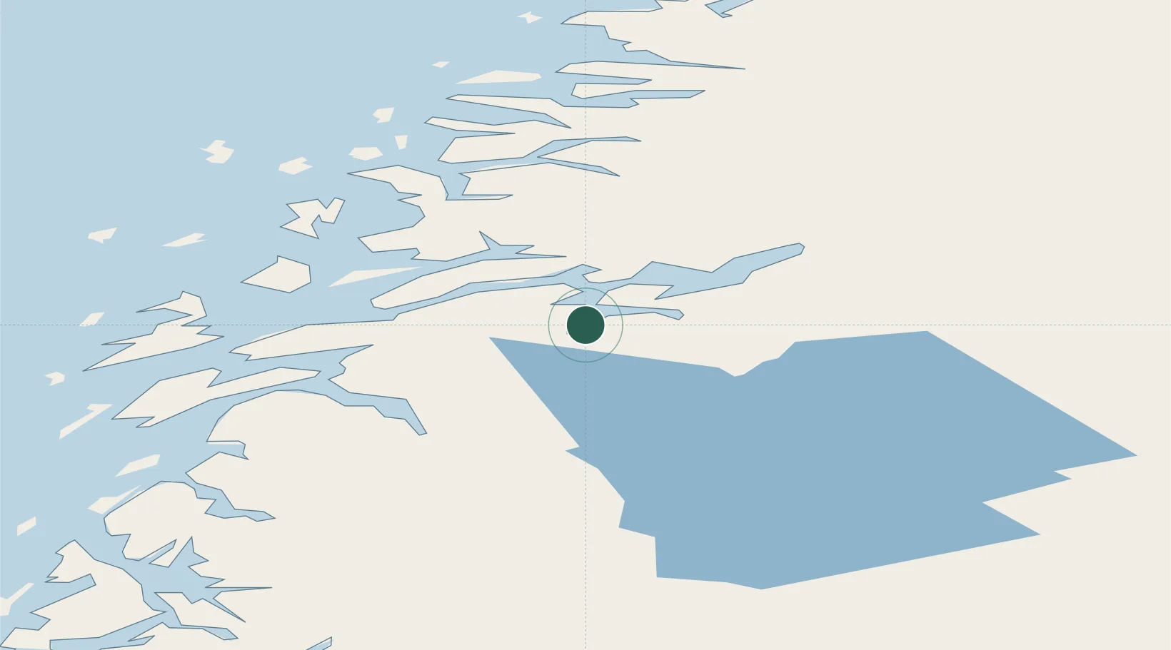
Place type
Populated place
Region
Finnmark
Time zone
Europe/Oslo
Elevation
180 m
Location
Nearby Logistics Neighbours
Cities
- 1Finneidfjord11 km
- 2Hemnesberget11 km
- 3Bjerka14 km
- 4Austvika17 km
- 5Nesna27 km
Ports
- 1Hemnesberget11 km
- 2Nesna27 km
- 3Mo I Rana32 km
- 4Mosjoen36 km
- 5Sandnessjoen45 km
Airports
Trade Zones
- 1Oulu Port Free Warehouse Area558 km
- 2Turku Free Zone764 km
- 3Stockholm Free Zone788 km
- 4Freeport of Hanko842 km
- 5Paldiski Free Zone923 km
DatabookThe Record of Consolidated Knowledge
Norway beyond logistics?