UN/LOCODE hub · Norway
NOHNE

Hemnesberget

66.2333°, 13.6333°
1,335
Population
1
Transport functions

Transport Functions

Port
Hemnesberget is also a profiled seaport →
UN/LOCODE

Hub Profile

Place type
Populated place
GeoNames
Region
Nordland
GeoNames
Population
1,335
GeoNames
Time zone
Europe/Oslo
GeoNames

Location

Location of NOHNE
Natural Earth 10m (public domain) · Nordland · NOHNE · 66.23, 13.63GoogleOSMYandex

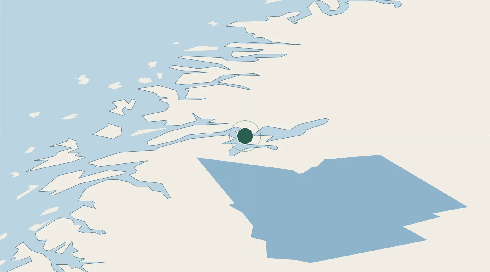
Nearby Logistics Neighbours

Cities
  1. 1Finneidfjord9 km
  2. 2Seljeli11 km
  3. 3Bjerka15 km
  4. 4Austvika19 km
  5. 5Mo i Rana23 km
Nearest neighbours — logibook spatial index (haversine) over the source coordinates
Ports
  1. 1Mo I Rana24 km
  2. 2Nesna28 km
  3. 3Mosjoen47 km
  4. 4Sandnessjoen51 km
  5. 5Glomfjord66 km
Nearest neighbours — logibook spatial index (haversine) over the source coordinates
Airports
  1. 1Mo i Rana Airport, Røssvoll33 km
  2. 2Mosjøen Airport, Kjærstad53 km
  3. 3Sandnessjøen Airport, Stokka61 km
  4. 4Hemavan Airport81 km
  5. 5Brønnøysund Airport, Brønnøy107 km
Nearest neighbours — logibook spatial index (haversine) over the source coordinates
Trade Zones
  1. 1Oulu Port Free Warehouse Area557 km
  2. 2Turku Free Zone772 km
  3. 3Stockholm Free Zone798 km
  4. 4Freeport of Hanko849 km
  5. 5Paldiski Free Zone930 km
Nearest neighbours — logibook spatial index (haversine) over the source coordinates
DatabookThe Record of Consolidated Knowledge
Norway beyond logistics?
Browse databook

All Sources

LocationsUN/LOCODE
UN/LOCODE — free
LocationsGeoNames
CC BY 4.0
Portsthe NGA World Port Index
Public domain (US gov)
AirportsOurAirports
Public domain
Trade Zonesthe World Bank SEZ database
CC BY 4.0
Trade ZonesOpen Zone Map
CC BY
← Norway locations