UN/LOCODE hub · Norway
NOMQN
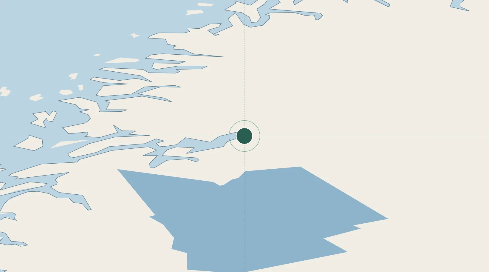
Mo i Rana
66.3061°, 14.1156°
18,866
Population
4
Transport functions
1
Container terminals
Transport Functions
Port
Rail
Road
Airport
Hub Profile
Place type
Provincial seat
Region
Nordland
Population
18,866
Time zone
Europe/Oslo
Elevation
40 m
Logistics facilities
1
Container terminals
1
Location
Nearby Logistics Neighbours
Cities
- 1Finneidfjord20 km
- 2Bjerka20 km
- 3Hemnesberget23 km
- 4Seljeli31 km
- 5Austvika42 km
Ports
- 1Hemnesberget24 km
- 2Nesna51 km
- 3Glomfjord56 km
- 4Ornes65 km
- 5Mosjoen66 km
Airports
- 1Mo i Rana Airport, Røssvoll11 km
- 2Hemavan Airport71 km
- 3Mosjøen Airport, Kjærstad71 km
- 4Sandnessjøen Airport, Stokka84 km
- 5Bodø Airport108 km
Trade Zones
- 1Oulu Port Free Warehouse Area537 km
- 2Turku Free Zone765 km
- 3Stockholm Free Zone799 km
- 4Freeport of Hanko843 km
- 5Port of Hamina-Kotka907 km
DatabookThe Record of Consolidated Knowledge
Norway beyond logistics?